Search

Search Results

Algemeene kaart van Nederlandsch Indië

event1879

location_onCambodia, Indonesia, Papua New Guinea, East Timor, Southeast Asia, Thailand, Malaysia, Philippines, Laos, Vietnam, Singapore, Brunei, Myanmar

A late 19th century map of the Dutch East Indies on four sheets, detailing maritime routes around the region. There are also inset maps showing railways, rivers, roads, and telegraph systems, as well as individual islands and cities.

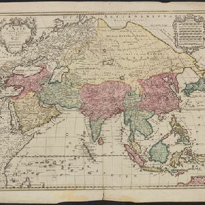
Asie divisée en ses Empires, Royaumes et Etats

event1794

location_onBrunei, Cambodia, East Timor, Indonesia, Laos, Malaysia, Myanmar, Philippines, Singapore, Southeast Asia, Thailand, Vietnam

This map of Asia features a decorative cartouche with drawings of two women—one with a cornucopia and one with a censer (incense burner)—and a French coat of arms. Interestingly, the map is dated 1792, during the French Revolution.

Asia volgens de nieuwste waarnemingen opgesteld

eventc.1790

location_onBrunei, Cambodia, East Timor, Indonesia, Laos, Malaysia, Myanmar, Philippines, Singapore, Southeast Asia, Thailand, Vietnam

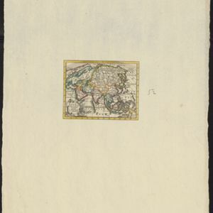
A simple hand-coloured map of Asia, with a cartouche of shell, leaves and plants. It shows that in the late 18th century, the details of New Guinea and Australia (‘Nieuw Holland’) were uncertain.

Accuratissima totius Asiæ tabula: In omnes partes divisa

event1750

location_onBrunei, Cambodia, East Timor, Indonesia, Laos, Malaysia, Myanmar, Philippines, Singapore, Southeast Asia, Thailand, Vietnam

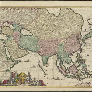
A detailed late 17th century map of Asia, showing ancient kingdoms and the place names of important settlements. The cartouche features a drawing of Asian traders selling their goods, while a camel, monkey and two birds look on.

Nuova carta dell' India di là del Fiume Ganges overo di Malacca, Siam, Cambodia, Chiampa, Kochinchina, Laos, Pegu, Ava &c.

event1740

location_onBrunei, Cambodia, Indonesia, Laos, Malaysia, Myanmar, Singapore, Thailand, Vietnam, Southeast Asia

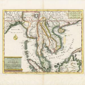
Based on a map by Guillaume Delisle, this map of Southeast Asia shows mountains and settlements pictorially, with larger cities also coloured red. Regional borders are colour-coded, as are some internal borders on the Malay Peninsula.

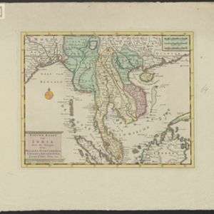
Nieuwe kaart van India over de Ganges: of van Malakka, Siam, Cambodia, Chiampa, Kochinchina, Laos, Pegu, Ava enz.

event1739

location_onBrunei, Cambodia, Indonesia, Laos, Malaysia, Myanmar, Singapore, Thailand, Vietnam, Philippines

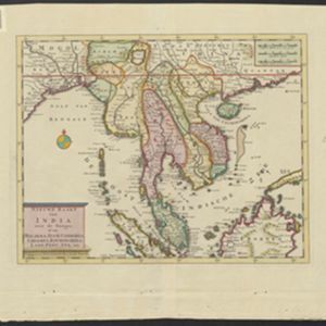
On this map, mainland Southeast Asia is divided into regions such as Cochin China, Ciampa and Tunquin (modern Vietnam), Siam (Thailand), Pegu, Aracan and Ava (Myanmar), Malacca (Malaysia), Laos and Cambodia. Rivers and settlements are also shown.

Nieuwe kaart van India: over de Ganges, of van Malakka, Siam, Cambodia, Chiampa, Kochinchina, Laos, Pegu, Ava enz.

event1739

location_onBrunei, Cambodia, Indonesia, Laos, Malaysia, Myanmar, Singapore, Thailand, Vietnam, Philippines

On this map, mainland Southeast Asia is divided into regions such as Cochin China, Ciampa and Tunquin (modern Vietnam), Siam (Thailand), Pegu, Aracan and Ava (Myanmar), Malacca (Malaysia), Laos and Cambodia. Rivers and settlements are also shown.

L'Asie dressée sur les observations de Mrs. de l'Academie Royale de Sciences

event1730

location_onBrunei, Cambodia, East Timor, Indonesia, Laos, Malaysia, Myanmar, Philippines, Singapore, Southeast Asia, Thailand, Vietnam

This map features maritime routes: between Siam and Batavia; and five routes of the explorers Juan Gaetan and Olivier du Nord (dated 1542) east of the Philippines. The cartouche has a colourful illustration of Asian people in traditional costume.

close