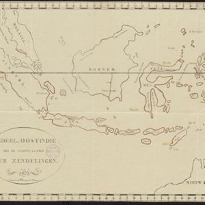
Die Ostindischen Inseln
1830
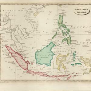
Brunei, Cambodia, East Timor, Indonesia, Laos, Malaysia, Myanmar, Philippines, Singapore, Southeast Asia, Thailand, Vietnam
Map of Southeast Asia highlighting European colonial possessions. Unusually, the south coast of the Philippine island of Mindanao is shown twice, reflecting uncertainty about its true location. Names of indigenous peoples are listed on Borneo.