Search

Search Results

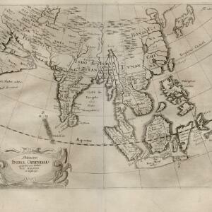
Delineatio Indiæ orientalis: quae lumen dabit huic itinerario et historiis

event1700

location_onBrunei, Cambodia, Indonesia, Laos, Malaysia, Myanmar, Philippines, Singapore, Southeast Asia, Thailand, Vietnam

This map of India and Southeast Asia—or ‘Indiae Orientalis [East Indies]’ as it was called at the time—was published in a book documenting the travels of the German scholar and geographer Adam Olearius (1599–1671).

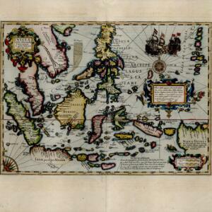
Insulæ Indiæ orientalis præcipuæ: in quibus Moluccæ celeberrimæ sunt

event1623

location_onBrunei, Cambodia, East Timor, Indonesia, Laos, Malaysia, Myanmar, Philippines, Singapore, Southeast Asia, Thailand, Vietnam

On the right of this map, Latin text held within an elaborate border notes that five of the Maluku Islands are located nearby—Ternate, Tidore, Moti, Makian and Bacan—which trade spices including clove, cinnamon, nutmeg and ginger to the world.

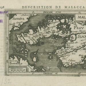
Malacca

event1616

location_onBrunei, Cambodia, Indonesia, Laos, Malaysia, Myanmar, Singapore, Thailand, Vietnam

French text on the back of this map of mainland Southeast Asia describes the kingdom of Pegu (Myanmar), its royal palace, ports and trade with Sumatra and Malacca (rice, butter, oil, salt, onions, silver, porcelain, quicksilver, copper, pewter etc.).

Insulæ Indiæ orientalis præcipuæ: in quibus Moluccæ celeberrimæ sunt

event1606

location_onBrunei, Cambodia, East Timor, Indonesia, Laos, Malaysia, Myanmar, Philippines, Singapore, Southeast Asia, Thailand, Vietnam

On the right of this map, Latin text held within an elaborate border notes that five of the Maluku Islands are located nearby—Ternate, Tidore, Moti, Makian and Bacan—which trade spices including clove, cinnamon, nutmeg and ginger to the world.

close

  • Filter from 1606 to 1700

Current results range from 1606 to 1700