Search Results
![](https://historicalmaps.yale-nus.edu.sg/rails/active_storage/representations/eyJfcmFpbHMiOnsibWVzc2FnZSI6IkJBaHBBa1VFIiwiZXhwIjpudWxsLCJwdXIiOiJibG9iX2lkIn19--27fe687409a0870143be4d32ea86a9fa0f30a291/eyJfcmFpbHMiOnsibWVzc2FnZSI6IkJBaDdCam9MY21WemFYcGxTU0lNTkRBd2VETXdNQVk2QmtWVSIsImV4cCI6bnVsbCwicHVyIjoidmFyaWF0aW9uIn19--bc467f5637e8b6d3bfb826116f92b6bfedfbf03a/bodleian-0451.jpeg)
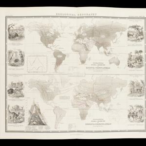
Physical chart of the Indian Ocean: shewing the temperature of the water, the currents of the air and ocean, directions of the wind, districts of hurricanes, regions of the monsoons & ty-foons, trade routes &c&c.
1849
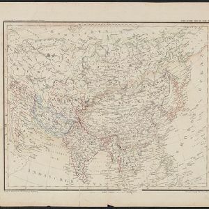
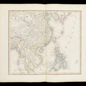
Brunei, Cambodia, East Timor, Indonesia, Laos, Malaysia, Myanmar, Papua New Guinea, Philippines, Singapore, Southeast Asia, Thailand, Vietnam
- [remove]Indonesia315
- [remove]Malaysia315
- Thailand315
- Cambodia305
- Singapore303
- Vietnam294
- Brunei293
- Myanmar285
- Philippines280
- Laos274
- Southeast Asia263
- East Timor253
- more Simple Location »
- [remove]Siam315
- Sumatra306
- Borneo286
- Java262
- Malay Peninsula247
- Sulawesi239
- Celebes227
- Pegu156
- Western New Guinea152
- Malacca142
- Maluku Islands130
- South China Sea123
- more Detailed Location »
- Moll, Herman14
- Wit, Frederik de13
- Bellin, Jacques Nicolas8
- Bowen, Emanuel8
- Johnston, Keith (A.K.)8
- Johnston, William8
- Berghaus, Heinrich Karl Wilhelm7
- Homann, Johann Baptist7
- more Map Maker »
- Isaak Tirion22
- Justus Perthes16
- Edward Stanford8
- Peter Schenk7
- Adolf Stieler6
- Bibliographisches Institut6
- William Blackwood & Sons6
- Thomas and John Bowles5
- more Printer/Publisher »
- Amsterdam82
- London74
- Gotha16
- Edinburgh14
- Paris14
- Nuremberg9
- Hildburghausen7
- Leiden5
- more Place of Publication »