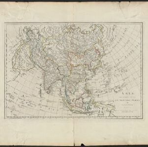
A new & accurate map of Asia: drawn from the most approved modern maps & charts
1777
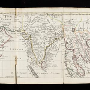
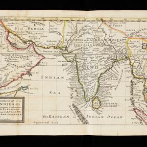
Brunei, Cambodia, East Timor, Indonesia, Laos, Malaysia, Myanmar, Papua New Guinea, Philippines, Singapore, Southeast Asia, Thailand, Vietnam
This 18th century map by Thomas Bowen shows some of the ancient kingdoms and islands of Southeast Asia, along with the rest of the Asian continent.