Search

Search Results

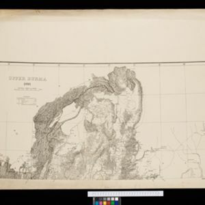
Upper Burma

event1895

location_onMyanmar, Thailand

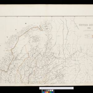
Map of Upper Burma, showing the borders with Assam (India), China and Siam (Thailand), as well as internal administrative borders. Mountains with their heights, settlements, rivers and railways (completed, proposed and under construction) are shown.

India

event1895

location_onMyanmar, Thailand

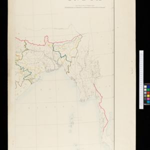
Although this map focuses on India, it also includes Burma (Myanmar), showing the administrative districts that existed under British colonial rule in the late 19th century. Burma's national borders are orange (with India) and red (with Siam).

India

event1895

location_onMyanmar, Thailand

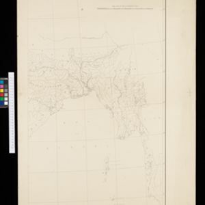
Although this map focuses on India, it also includes Burma (Myanmar), showing the administrative districts that existed under British colonial rule in the late 19th century.

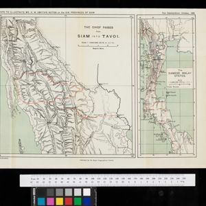
The chief passes from Siam into Tavoi / The Siamese Malay States

event1895

location_onMyanmar, Thailand, Malaysia

Two maps of Siam (Thailand). The larger map shows routes through mountain passes from Siam to the city of Tavoi (Dawei, on the west coast of Myanmar). The smaller map is marked with trade routes around Lower Siam (Southern Thailand).

Upper Burma

event1894

location_onMyanmar, Thailand

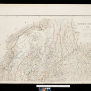
Map of Upper Burma, showing the borders with Assam (India), China and Siam (Thailand), as well as internal administrative borders. Mountains with their heights, settlements, rivers and railways (completed, proposed and under construction) are shown.

Trade Routes in the Far East

event1894

location_onBrunei, Cambodia, Indonesia, Laos, Malaysia, Myanmar, Philippines, Singapore, Thailand, Vietnam

Map of stream ship trade routes around Southeast Asia. Rivers, railways, submarine telegraph cables, lighthouses (fixed, revolving and flashing), graving docks and coaling stations are marked. An inset map shows a railway route from Britain to Asia.
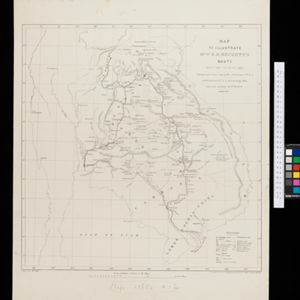
Map to illustrate Mr. W.R.D. Beckett's route, Novr. 1891-April 1892

event1893

location_onVietnam, Thailand, Cambodia, Laos

The route of W.R.D. Beckett between Bangkok and Saigon, partly along the Mekong River, is marked on this map, along with trade routes, police posts, mines (copper, iron, gold), and products (the spice cardamom, and resin benzoin (‘Gumbenjamin’)).
Upper Burma

event1893

location_onMyanmar, Thailand

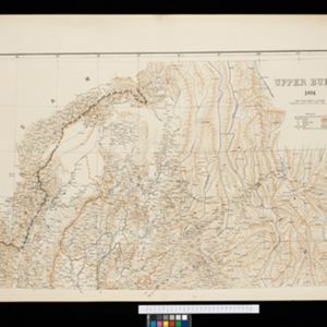
Map of Upper Burma, showing the borders with Assam (India), China and Siam (Thailand), as well as internal administrative borders. Mountains with their heights, settlements, rivers and railways (completed, proposed and under construction) are shown.

Facsimile of map given to the French Ambassador 29th Aug. 1889 as indicating the Approximate Boundaries of Siam to the North West & North such as they have hitherto been considered

event1893

location_onCambodia, Laos, Myanmar, Thailand, Vietnam

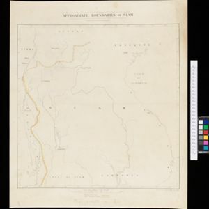
The border between Siam (Thailand) and Tenasserin (Tanintharyi Region, Myanmar) is highlighted on this map, while the more northerly border between Siam and Burma (Myanmar) is marked as being ‘approximate’.

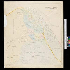
Boundaries of Tongkin or Tongkia

event1893

location_onLaos, Vietnam

This late 19th century map shows the disputed border region between Siam (Thailand, Laos) and Tongkin (Vietnam), with the border claimed by Siam highlighted in yellow. Provinces along the border are labelled with the names of their local tribes.

Map to illustrate the Siamese question: showing the present limits of French claims, and the additional territory now demanded

event1893

location_onCambodia, Laos, Malaysia, Myanmar, Thailand, Vietnam

Map highlighting areas of eastern Siam (Thailand) claimed by France. Notes describe Siam’s geography, government, population, military and trade (rice, teak, pepper, bullocks, fish, hides, tin, cardamom, tin), including trading partners by tonnage.

close

  • Filter from 1678 to 1900

Current results range from 1678 to 1900