Search Results
87 Results found
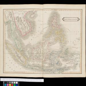
East India Islands
c.1844-1846
Brunei, Cambodia, East Timor, Indonesia, Laos, Malaysia, Myanmar, Philippines, Singapore, Southeast Asia, Thailand, Vietnam
From ‘Lizars' Edinburgh Geographical General Atlas’, this mid-19th century map was based on an earlier map by the English cartographer John Cary. It highlights the mountain ranges and rivers of Southeast Asia, and also features many place names.
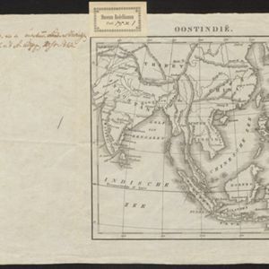
Oostindië
1842
Brunei, Cambodia, East Timor, Indonesia, Laos, Malaysia, Myanmar, Philippines, Singapore, Southeast Asia, Thailand, Vietnam
Dutch map of the East Indies, with mountain ranges represented by simple hachure marks, and just a few rivers marked. Mainland Southeast Asia is labelled ‘Achter Indie [Beyond India]’.
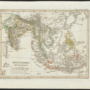
Ost-Indien mit den Inseln
c.1835
Brunei, Cambodia, East Timor, Indonesia, Laos, Malaysia, Myanmar, Philippines, Singapore, Southeast Asia, Thailand, Vietnam
On this map of India and Southeast Asia, borders are outlined and cities underlined in different colours to show the colonial territories of the European powers. On Borneo, the names of indigenous peoples are listed (‘Dayak’s, Papua’s, Bugi’s’).
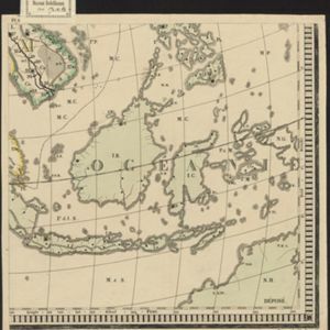
Kaart van Azië ten gebruike der scholen van het Koninkrijk der Nederlanden = Carte d'Asie, a l'usage des maisons d'éducation
1830
Brunei, Cambodia, East Timor, Indonesia, Laos, Malaysia, Myanmar, Philippines, Singapore, Southeast Asia, Thailand, Vietnam
Map of Asia spread over nine sheets, for use in schools. Place names are not printed on the map itself, but are represented by initials and numbers (presumably, there is a legend that lists the names, but it is not present).
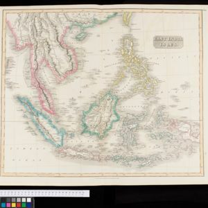
East India Isles
1829
Brunei, Cambodia, East Timor, Indonesia, Laos, Malaysia, Myanmar, Vietnam, Thailand, Southeast Asia, Singapore, Philippines
From ‘Thomson’s New General Atlas’, this mid-19th century map was based on an earlier map by the English cartographer John Cary. It highlights the mountain ranges and rivers of Southeast Asia, and also features many place names.
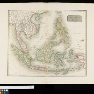
East India Isles
1817
Brunei, Cambodia, East Timor, Indonesia, Laos, Malaysia, Myanmar, Vietnam, Thailand, Southeast Asia, Singapore, Philippines
This early 19th century map was based on an earlier map by the English cartographer John Cary. It highlights the mountain ranges and rivers of Southeast Asia, and also features many place names of cities, towns and islands.
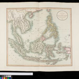
A new map of the East India Isles
1801
Brunei, Cambodia, East Timor, Indonesia, Laos, Malaysia, Myanmar, Vietnam, Thailand, Southeast Asia, Singapore, Philippines
An early 19th century map by the English cartographer John Cary, highlighting the mountain ranges and rivers of Southeast Asia. The map also features many place names of cities, towns and islands.
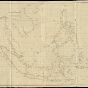
Chart of East Indian Islands exhibiting the several Passages between the Indian and Pacific Oceans
1800
Brunei, Cambodia, East Timor, Indonesia, Laos, Malaysia, Myanmar, Philippines, Singapore, Southeast Asia, Thailand, Vietnam
Map focusing on the passages between the islands of maritime Southeast Asia. Many 18th century routes are labelled with the ship/captain’s name and date, and there are notes on some shoals and reefs recording names, details and incidents/shipwrecks.
- Filter from 1633 to 1889
- Java87
- [remove]Pegu87
- [remove]Siam87
- [remove]Sulawesi87
- Sumatra87
- Borneo86
- Malay Peninsula85
- Celebes82
- Western New Guinea60
- Malacca54
- Iava40
- Maluku Islands40
- more Detailed Location »
- [remove]Regional Border87
- Colonial Possessions7
- Civic/Metropolitan Border2

