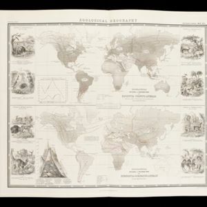
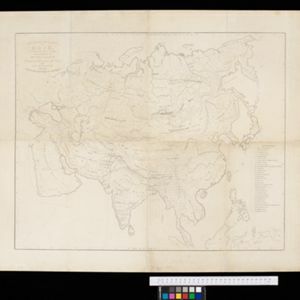
Carte des courants généraux dans l'Océan Indien
c.1849-1863
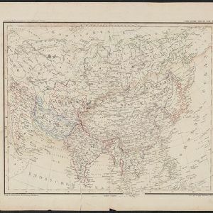
Brunei, Cambodia, East Timor, Indonesia, Laos, Malaysia, Myanmar, Philippines, Singapore, Southeast Asia, Thailand, Vietnam
Map of the Indian Ocean showing the currents (represented by arrows), including during the North East and North West monsoons. Numbers on the arrows indicate the current’s speed.