
Search Results


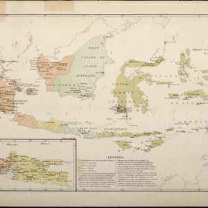
Map of South-Eastern Asia and Northern Australia: showing the districts in Annam and Tonquin which France proposes to annex and to place under a Protectorate, the portion of New Guinea proposed to be acquired by Queensland, and the districts affected by the volcanic eruptions in Java
1883
Southeast Asia, Singapore, Thailand, East Timor, Vietnam, Brunei, Cambodia, Indonesia, Laos, Malaysia, Myanmar, Papua New Guinea, Philippines


- Filter from 1565 to 1900
- Latin141
- Dutch138
- French138
- English121
- German51
- Italian16
- Spanish2
- Portuguese1
- more Language »
- Indonesia553
- Malaysia485
- Brunei472
- East Timor472
- Singapore472
- Philippines467
- Thailand433
- Vietnam432
- Cambodia431
- Southeast Asia418
- Myanmar405
- Laos404
- more Simple Location »
- [remove]Sulawesi553
- Borneo495
- Sumatra483
- Java471
- Celebes470
- Malay Peninsula381
- Western New Guinea314
- Maluku Islands291
- Siam239
- Sunda Islands205
- Malacca189
- Pegu183
- more Detailed Location »


