Search

Search Results

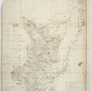
Het stroomgebied van Bila en Pane: Opgenomen en in kaart gebracht... gedurende de jaren 1876, 1877, 1878, 1882, 1883, 1884

event1885

location_onIndonesia

A map of the watershed of the Bila and Pane rivers in northern Sumatra. In addition to many rivers/tributaries, mountains, roads, paths and administrative borders are marked. Side views of mountains (elevations) are shown to use a landmarks.

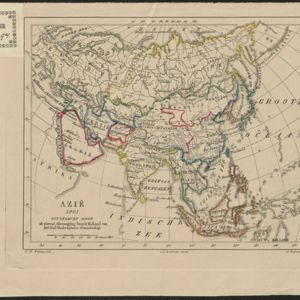
Azië : 1861

event1861

location_onBrunei, Cambodia, East Timor, Indonesia, Laos, Malaysia, Myanmar, Papua New Guinea, Philippines, Singapore, Southeast Asia, Thailand, Vietnam

Map of Asia published by the North Holland Regional Association of the Dutch Teachers' Association. Mainland Southeast Asia is labelled ‘Achter Indie [Beyond India]’; the Indonesian Archipelago is labelled ‘Indische Archipel [Indian Archipelago]’.

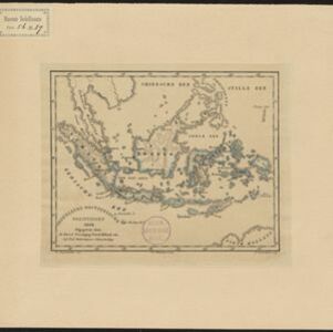
Nederlands Oostindische bezittingen, 1848

event1848

location_onBrunei, East Timor, Indonesia, Malaysia, Philippines, Singapore

Map of the Dutch East Indies, with blue borders showing the extent of Dutch colonial territory in 1848. It was published by the North Holland Regional Association of the Dutch Teachers' Association.

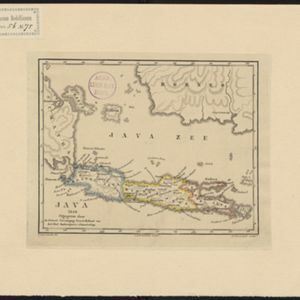
Java 1848

event1848

location_onIndonesia

Map of Java divided into three provinces: West Java, Central Java and East Java. Major settlements and islands are named. Mountains are represented by hachures, short lines/dashes that give a sense of the shape and steepness of terrain.

close

  • Filter from 1848 to 1885

Current results range from 1848 to 1885