Search

Search Results

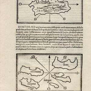
[Java Minor and map of Necumera, Locaz, Patera, Botegon, Mangama]

event1547

location_onThailand, Indonesia

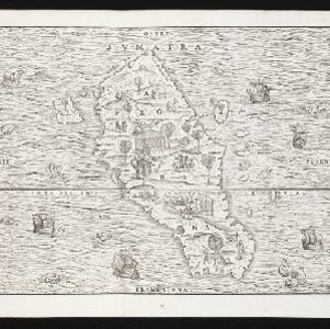
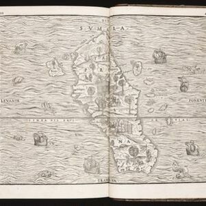
Taken from Benedetto Bordone's ‘Isolario [The Book of Islands]’, these pages contain two maps: one of Sumatra (‘Iaua Minore’), and one of a group of five unknown islands (Locaz is thought to possibly be Thailand).

Sumatra

event1565

location_onIndonesia

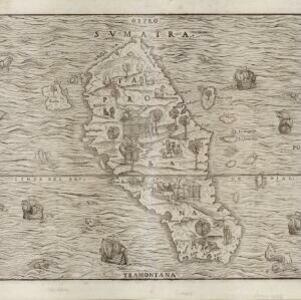
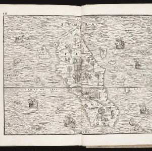
This early map of Sumatra (labelled ‘Taprobana’) features many illustrations. In the sea, there are ships, fish and sea monsters, while on land, plantations, agricultural workers, a shepherd and wooden buildings highlight the economy of the island.

Sumatra

event1565

location_onIndonesia

This early map of Sumatra (labelled ‘Taprobana’) features many illustrations. In the sea, there are ships, fish and sea monsters, while on land, plantations, agricultural workers, a shepherd and wooden buildings highlight the economy of the island.

Sumatra

event1565

location_onIndonesia

This early map of Sumatra (labelled ‘Taprobana’) features many illustrations. In the sea, there are ships, fish and sea monsters, while on land, plantations, agricultural workers, a shepherd and wooden buildings highlight the economy of the island.

Sumatra

event1565

location_onIndonesia

This early map of Sumatra (labelled ‘Taprobana’) features many illustrations. In the sea, there are ships, fish and sea monsters, while on land, plantations, agricultural workers, a shepherd and wooden buildings highlight the economy of the island.

[Sumatra]

event1581

location_onIndonesia

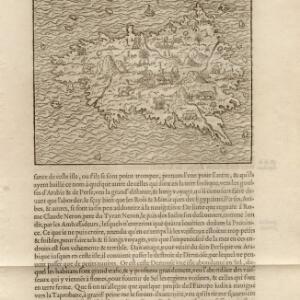
This early map of Sumatra—referred to in the accompanying French text as ‘Isle de la Taprobane’—is covered with illustrations of people working on the land, and with elephants and camels. Villages, mountains, rivers and wild animals are also shown.

Sumatra ein grosse Insel: so von den alten Geographen Taprobana genennet worden

eventc.1588-1628

location_onIndonesia, Malaysia, Singapore, Thailand

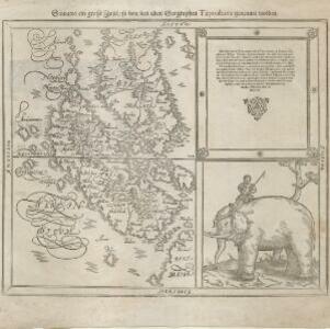
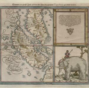
A map of Sumatra featuring villages, mountains and rivers; text describing the island; and a drawing of a man riding an elephant. The title uses the name ‘Taprobana’ for Sumatra, stating it was a name used by ‘ancient geographers [alten geographen]’.

Carte des Isles de la Sonde et du Détroit de Malaca

event1791

location_onBrunei, Indonesia, Malaysia, Singapore

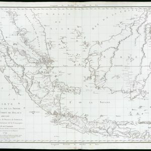
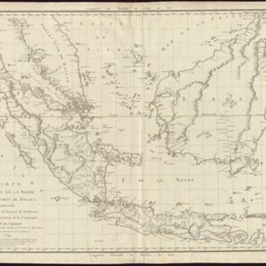
Map based on the expeditions of Jean-François de Surville, a merchant captain with the French East India Company. Some details are from the diary of the French Navy officer Théobald René, Comte de Kergariou-Locmaria, who explored the region in 1785.

Algemeene kaart van Nederlandsch Oostindie

eventc.1839-1855

location_onEast Timor, Indonesia, Malaysia, Singapore

This map of the Dutch East Indies is spread over eight sheets, with a hand-drawn cover sheet showing the whole area. There are numerous inset maps of islands, bays, cities etc. Two of the inset maps have a replacement map pasted over them.

close