Search

Search Results

Kaart van het gebied bezet in Groot-Atjèh

event1898

location_onIndonesia

A six-sheet map of Groot-Atjèh (Aceh, northern Sumatra) focusing on areas occupied during the Aceh War (1873–1904) between the Sultanate of Aceh and Dutch colonists. It shows military positions and fortifications, buildings, routes and crops.

Hinter Indien

event1845

location_onIndonesia, Singapore, Malaysia, Thailand, Vietnam, Myanmar, Laos, Cambodia

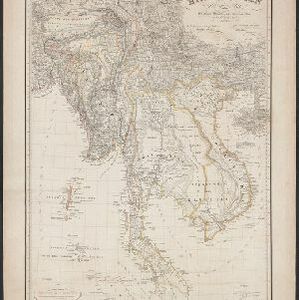
A mid-19th century German map of mainland Southeast Asia showing a mixture of ancient kingdoms (e.g. Cochin-China), administrative districts (Malay States) and colonial possessions (Straits Settlements). Extensive mountainous areas are also featured.

Hinterindien

event1832

location_onIndonesia, Malaysia, Singapore, Cambodia, Vietnam, Thailand, Myanmar, Laos

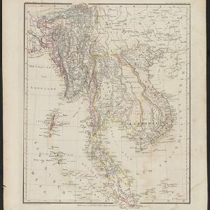
A mid-19th century German map of mainland Southeast Asia showing a mixture of ancient kingdoms (e.g. Birma, Siam, Anam) and the colonial possessions of Britain (Malaya, Straits Settlements) and Denmark (Nicobar Islands).

Partie de la nouvelle Grande Cartes des Indes Orientales, contenant les Isles Maldives, Ceylan, Malacca, Sumatra &c.

event1700

location_onIndonesia, Malaysia, Singapore, Thailand

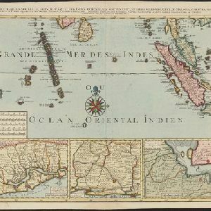
Sumatra and the Malay Peninsula feature on this map of the Indian Ocean. Enganno Island, west of southern Sumatra, has a label that translates as ‘inhabited by very pernicious savages’. An inset map depicts the Madura Strait between Java and Madura.

close

  • Filter from 1700 to 1898

Current results range from 1700 to 1898