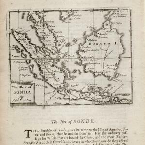
Les Isles de la Sonde: entre lesquelles sont Sumatra, Java, Borneo &c.
1652
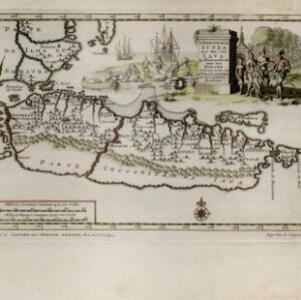
Brunei, Indonesia, Malaysia, Singapore
This mid-17th century map of the Sunda Isles (‘Isles de la Sonde’) includes the Malay Peninsula in addition to Sumatra, Java and Borneo. Mountain ranges and jungles are shown pictorially, and the islands and coasts feature shoals and reefs.