Search

Search Results

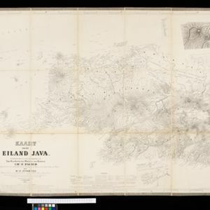
Kaart van het eiland Java

event1855

location_onIndonesia

Detailed map of Java based on the expeditions of the geologist and botanist Dr. Franz Junghuhn. There are 16 inset maps featuring volcanoes, mountains and coal seams.

Kaart van het eiland Java

event1855

location_onIndonesia

Detailed map of Java based on the expeditions of the geologist and botanist Dr. Franz Junghuhn. There are 16 inset maps featuring volcanoes, mountains and coal seams.

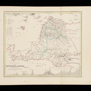
Kaart der Residentie Bantam

event1854

location_onIndonesia

Map of the Dutch colonial administrative region (residency) of Bantam (Banten, Java) divided into four regencies, featuring Banten Bay and Krakatoa. (From ‘Algemeene Atlas van Nederlandsche Indie [General Atlas of the Dutch East Indies]’.)

close

  • Filter from 1854 to 1855

Current results range from 1854 to 1855