Search

Search Results

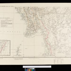
Burma and adjacent countries: With additions and corrections to boundaries and railways up to December, 1898

event1898

location_onMyanmar, Thailand

The regional and national borders of Burma and Siam are hand-coloured on this map. Provinces, districts and states within Burma are also highlighted, and itemised in a separate list.

Map of Tennasserim

event1897

location_onMyanmar, Thailand

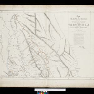
The border of the Tenasserim Division of British Burma (Tanintharyi Region, Myanmar) is highlighted in orange on this set of six map sheets, showing the boundary with Siam (Thailand) to the east, and the islands off the west coast.

Telegraph map of India

event1894

location_onMyanmar

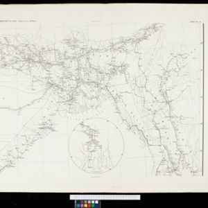
Spread over six sheets, this map of India also features Burma (Myanmar) on sheet four and on an inset map on sheet six. Telegraph lines are shown connecting the telegraph offices in cities and towns, including lines and offices under construction.

Burma and adjacent countries

event1892

location_onMyanmar, Thailand

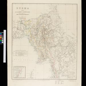
The regional and national borders of Burma and Siam are hand-coloured on this map. Provinces, districts and states within Burma are also highlighted, and itemised in a separate list.
Burma and adjacent countries

event1892

location_onMyanmar, Thailand

The regional and national borders of Burma and Siam are hand-coloured on this map. Provinces, districts and states within Burma are also highlighted, and itemised in a separate list.
close

  • Filter from 1892 to 1898

Current results range from 1892 to 1898