Search

Search Results

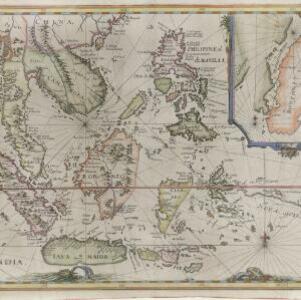
Paskaerte zynde t'Oosterdeel van Oost Indien, met alle de Eylanden daer ontrendt geleegen van C. Comorin tot aen Iapan

event1666

location_onBrunei, Cambodia, East Timor, Indonesia, Laos, Myanmar, Malaysia, Singapore, Philippines, Southeast Asia, Vietnam, Thailand

This map of Southeast Asia features a rhumbline network, a web of lines used to aid navigation. Coastal areas are detailed while interiors are mainly blank, and there are illustrations of sailing ships, reinforcing the maritime focus of this map.

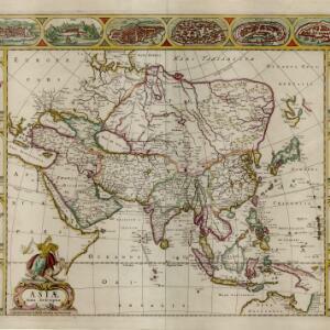
Asiæ nova descriptio

event1660

location_onBrunei, Cambodia, East Timor, Indonesia, Laos, Malaysia, Myanmar, Singapore, Philippines, Southeast Asia, Thailand, Vietnam

This mid-17th century map of Asia is illustrated with drawings of Asian people wearing traditional clothing, including a man and woman from Java in Southeast Asia. There are also drawings and plans of important Asian cities.

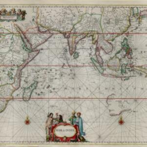
Mar di India

event1659

location_onBrunei, Cambodia, East Timor, Indonesia, Laos, Malaysia, Myanmar, Philippines, Singapore, Southeast Asia, Thailand, Vietnam

This mid-17th century map of the Indian Ocean has a colourful cartouche illustrated with paintings of Asian merchants and warriors with bows and arrows. The scale is decorated with paintings of cherubs.

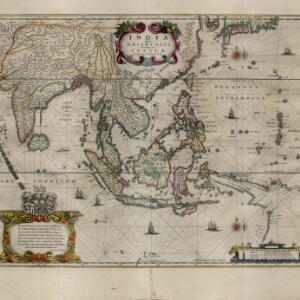
India orientalis

event1658

location_onBrunei, Cambodia, East Timor, Indonesia, Laos, Malaysia, Myanmar, Philippines, Singapore, Thailand, Southeast Asia, Vietnam

This mid-17th century map features three long rivers flowing south through mainland Southeast Asia. Their source is a lake named ‘Chiamai Lacus’, which was one of a number of mythical lakes once thought to exist in southern China.

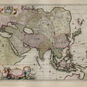
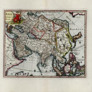
Asiæ nova delineatio

eventc.1656-1677

location_onBrunei, Cambodia, East Timor, Indonesia, Laos, Malaysia, Myanmar, Philippines, Singapore, Southeast Asia, Thailand, Vietnam

This colourful mid-17th century map was originally published in the Dutch cartographer Nicolaes Visscher's ‘Atlas contractus’. The map is dedicated to D. Henry Spiegel, consul and senator of the city of Amsterdam, and features his coat of arms.

India quae Orientalis dicitur, et insvlae adiacentes

eventc.1645-1658

location_onBrunei, Cambodia, East Timor, Indonesia, Laos, Malaysia, Myanmar, Philippines, Singapore, Southeast Asia, Thailand, Vietnam

German text on the reverse of this map describes the populations, crops, trade etc. of Sumatra, Borneo, Philippines, and Banda Islands. There are drawings of sailing ships, and the map is dedicated to the Dutch merchant Christophoro Thisio.

Mar di India

event1644

location_onBrunei, Cambodia, East Timor, Indonesia, Laos, Malaysia, Myanmar, Philippines, Singapore, Southeast Asia, Thailand, Vietnam

This mid-17th century map of Southeast Asia is from Isaac Commelin’s book describing the voyages of the Dutch East India Company ‘Begin ende voortgangh…’. There is an inset map of the island of Botton (Buton Island, southeast of Celebes (Sulawesi)).

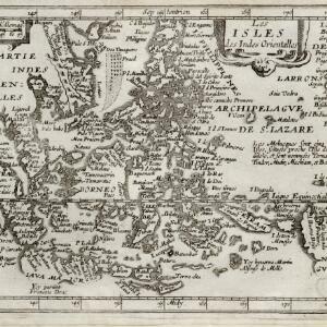
Les isles des Indes orientalles

event1643

location_onBrunei, Cambodia, East Timor, Indonesia, Laos, Malaysia, Myanmar, Philippines, Singapore, Southeast Asia, Thailand, Vietnam

French text on the right of this map notes that the ‘Molucques’—an important region for the spice trade—were near the island of Gilolo (modern Halmahera) and names them as Ternate, Tindor (Tidore), Mutir (Moti), Machiam (Makian) and Bachian (Bacan).

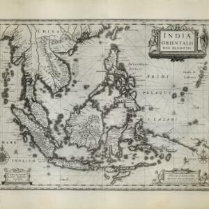
Indiae Orientalis nova descriptio

eventc.1633-1636

location_onBrunei, Cambodia, East Timor, Indonesia, Laos, Malaysia, Myanmar, Philippines, Singapore, Southeast Asia, Thailand, Vietnam

The outline of the island of New Guinea is very vague on this early 17th century map of Southeast Asia. The cartouche is decorated with two figures of Asian warriors: one holds a spear, the other a sword. There are also drawings of mermaids.

Insulæ Indiæ orientalis

event1632

location_onBrunei, Cambodia, East Timor, Indonesia, Laos, Malaysia, Myanmar, Philippines, Singapore, Southeast Asia, Thailand, Vietnam

On this early 17th century map of maritime Southeast Asia, the southern coast of Java ('Iava Maior') is represented by a dotted line, indicating that the exact coastline was unknown at this time.

Asia antiqua et nova

eventc.1624-1700

location_onBrunei, Cambodia, Indonesia, Laos, Malaysia, Myanmar, Philippines, Singapore, Southeast Asia, Thailand, Vietnam

This 17th century map of Asia features a colourful painting of an Asian man wearing bright red robes and a feathered headdress. A parrot perches on his chair, while a large cat-like creature crouches menacingly by his side.

Insulæ Indiæ orientalis præcipuæ: in quibus Moluccæ celeberrimæ sunt

event1623

location_onBrunei, Cambodia, East Timor, Indonesia, Laos, Malaysia, Myanmar, Philippines, Singapore, Southeast Asia, Thailand, Vietnam

On the right of this map, Latin text held within an elaborate border notes that five of the Maluku Islands are located nearby—Ternate, Tidore, Moti, Makian and Bacan—which trade spices including clove, cinnamon, nutmeg and ginger to the world.

close

  • Filter from 1579 to 1858

Current results range from 1579 to 1858