Search

Search Results

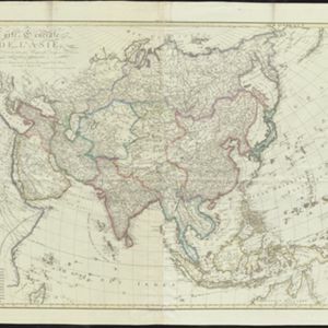
Carte generale de l'Asie: où se trouvent les découvertes faites par Bougainville, Dampier et La Pérouse

event1833

location_onBrunei, Cambodia, East Timor, Indonesia, Laos, Malaysia, Myanmar, Papua New Guinea, Philippines, Singapore, Southeast Asia, Thailand, Vietnam

This map of Asia is marked with the routes taken through Southeast Asia by the British Royal Navy captain James Cook, and the French explorer Lapérouse. The title also refers to two other explorers: Louis Antoine de Bougainville and William Dampier.
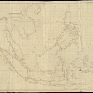
Chart of East Indian Islands exhibiting the several Passages between the Indian and Pacific Oceans

event1800

location_onBrunei, Cambodia, East Timor, Indonesia, Laos, Malaysia, Myanmar, Philippines, Singapore, Southeast Asia, Thailand, Vietnam

Map focusing on the passages between the islands of maritime Southeast Asia. Many 18th century routes are labelled with the ship/captain’s name and date, and there are notes on some shoals and reefs recording names, details and incidents/shipwrecks.

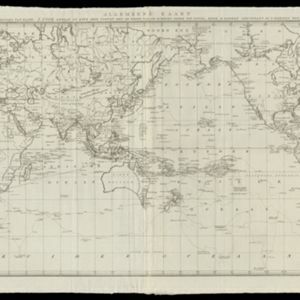
Algemeene kaart van de ontdekkingen van kapit. J. Cook gedaan op zyne drie togten met de koers van de schepen onder zyn bevel

event1795

location_onBrunei, Cambodia, East Timor, Indonesia, Laos, Malaysia, Myanmar, Papua New Guinea, Philippines, Singapore, Southeast Asia, Thailand, Vietnam

Map charting the three expeditions of the British Royal Navy captain James Cook, including HMS Endeavour’s journey via Batavia (Jakarta) in 1770, and HMS Resolution’s journey through the South China Sea (after Cook’s death) in 1779.

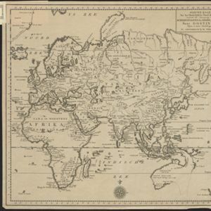
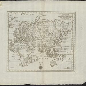
Nieuwe kaart van het oostelykste deel der weereld, dienende tot aanwyzing van de scheepstogten der Nederlanderen naar Oostindië

event1753

location_onBrunei, Cambodia, East Timor, Indonesia, Laos, Malaysia, Myanmar, Papua New Guinea, Philippines, Singapore, Southeast Asia, Thailand, Vietnam

This map of the Eastern Hemisphere was designed to show maritime routes from the Netherlands to Southeast Asia. It shows New Guinea (‘Nieuw Guinee’) and Australia (‘Nieuw Hollande’) as one landmass, connected via an area labelled ‘Karpentarie’.

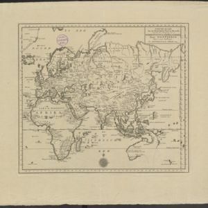
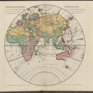
Hemisphere oriental: dressé en 1720 pour l'usage particulier du Roy sur les observations astronomiques et geographiques

event1724

location_onBrunei, Cambodia, East Timor, Indonesia, Laos, Malaysia, Myanmar, Papua New Guinea, Philippines, Singapore, Southeast Asia, Thailand, Vietnam

This map of the Eastern Hemisphere (Asia, Europe, Africa) shows New Guinea (‘Nouvelle Guinee’) and Australia (‘Nouvelle Hollande’) as one landmass, demonstrating that there was some uncertainty about the area’s geography in the early 18th century.

close

  • Filter from 1724 to 1833

Current results range from 1724 to 1833