Search

Search Results

Kaart der residentie Zuider- en Ooster-afdeeling van Borneo

event1899

location_onIndonesia

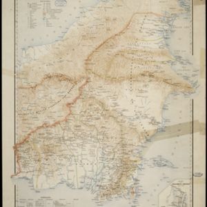
On this map, the residency of South and East Borneo is divided into departments (green borders) and provinces (yellow borders). There is an inset plan of the city of Banjarmasin, with rivers, buildings, residential areas, roads and crops marked.

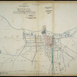
Situatie plan van Batavia met desselfs stranden en ommelanden tot de buiten posten Angiol, Noortwijk, Rijswijk, de Kelling , Ankee en de Fluit

event1898

location_onIndonesia

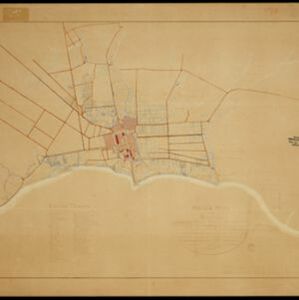
Plan of the city of Batavia (Jakarta) with its suburbs and surrounding areas. Artillery batteries are marked on the beaches, and there is a detailed legend identifying places on the map. This is a copy of an original 1797 map.

Situatieplan van Batavia desselfs stranden en ommelanden

event1898

location_onIndonesia

Plan of the city of Batavia (Jakarta), its suburbs and surrounding areas, focussing on the river and canal system. This is a copy of an original c.1790 map. The pier has been pencilled in, as it was not built when the original map was produced.

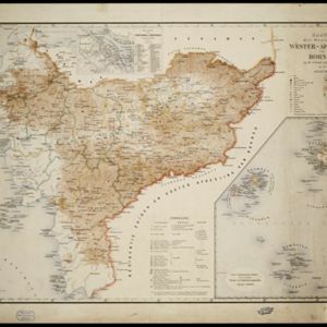
Kaart de residentie Wester-afdeeling van Borneo

event1898

location_onIndonesia

Topographical map of western Borneo, with inset maps of the islands off the west coast, and of the city of Pontianak including the docks and crops grown near the city (rice, coconut, mangosteen, sago, alang-alang, indigo plant, sugarcane, bamboo).

Kaart der Molukken

event1898

location_onIndonesia, East Timor

Map of the Moluccas (Maluku Islands) divided into the residencies of Ternate (orange borders) and Ambon (green borders). Many place names are in Dutch and Malay, and there is an inset map of the city of Ambon. Timor is marked as Portuguese territory.

Atlas van Nederlandsch Oost-Indië

eventc.1897-1904

location_onIndonesia

Very detailed atlas of the entire Dutch East Indies, over 16 map sheets, with a cover and overview map. Includes topographic maps, inset maps of cities and islands, and maps featuring land and sea routes, languages, geology, colonial territory etc.

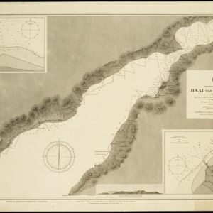
Moluksche archipel: Baai van Amboina

event1895

location_onIndonesia

A map to aid navigation in Ambon Bay, on the island of Ambon in the Maluku Islands: bathymetry (sea depth) and mountains are shown along the coasts, with inset maps of a coal mine pier and Fort Victoria. A second map updates the coal mine pier map.

Sumatra

event1889

location_onIndonesia

Map of the city of Padang on the west coast of Sumatra, with inset maps of the nearby islands, featuring residential, business, government and military areas. There are also agricultural areas with coconut, nutmeg, bamboo, nipa palm and sago palm.

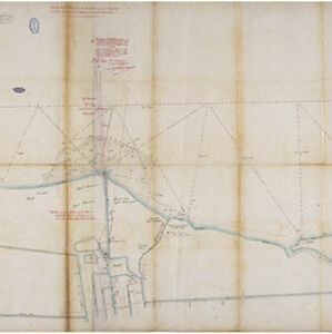
Situatie kaart van een gedeelte der stad Batavia

event1874

location_onIndonesia

Map of the coastline of the bay of Batavia (Jakarta) showing the extension of the port’s pier (in red, labelled CD), the sand and mud bank and bathymetry (sea depth) in the bay, and notes regarding changes in tide levels over the years.

Nederlandsch Oost-Indië

event1865

location_onBrunei, Cambodia, East Timor, Indonesia, Laos, Malaysia, Myanmar, Vietnam, Thailand, Southeast Asia, Singapore, Philippines, Papua New Guinea

This detailed map of the Dutch East Indies in the mid-19th century contains a great deal of information: topographical details, settlements and administrative areas, roads, railways and maritime routes, telegraph lines, inset maps etc.

Kaart van de Oosterhelft der Residentie Timor

event1860

location_onIndonesia

Map of the eastern half of the Dutch colonial administrative region (residency) of Timor, with an inset map of its capital city and port Timorkoepang (Kupang). (From ‘Algemeene Atlas van Nederlandsche Indie [General Atlas of the Dutch East Indies]’.)

Kaart van de Westerhelft der Residentie Rembang

event1858

location_onIndonesia

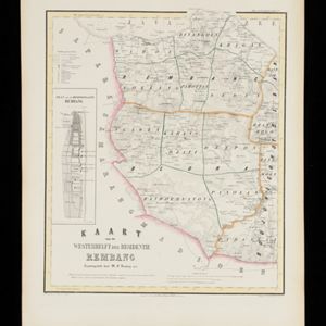
Map of the western half of the Dutch colonial administrative region (residency) of Rembang, Java, with an inset map of its capital city, Rembang. (From ‘Algemeene Atlas van Nederlandsche Indie [General Atlas of the Dutch East Indies]’.)

close