Search

Search Results

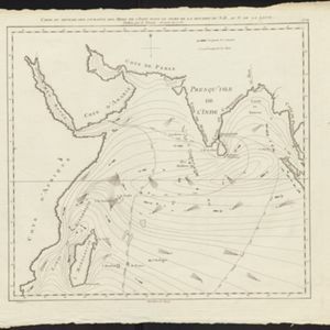
Carte du sisteme des courants des Mers de l'Inde dans le tems de la Mousson du N.E, au N. de la ligne

event1776

location_onIndonesia, Myanmar, Thailand

Map of the Indian Ocean showing the currents (represented by arrows) and winds (represented with letters A to G) during the monsoon seasons. Three routes from the Isle de France (Mauritius) around the Indian Ocean are shown.

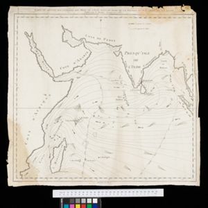
Carte du sisteme des courants des Mers de l'Inde dans le tems de la Mousson du N.E, au N. de la ligne

event1776

location_onMyanmar, Indonesia, Thailand

Map of the Indian Ocean showing the currents (represented by arrows) and winds (represented with letters A to G) during the monsoon seasons. Three routes from the Isle de France (Mauritius) around the Indian Ocean are shown.

Carte du sisteme des courants des Mers de l'Inde dans le tems de la Mousson du N.E, au N. de la ligne

event1776

location_onIndonesia, Myanmar, Thailand

Map of the Indian Ocean showing the currents (represented by arrows) and winds (represented with letters A to G) during the monsoon seasons. Three routes from the Isle de France (Mauritius) around the Indian Ocean are shown.
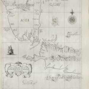
Carta particolare del stretto di Sunda fra l'Isole di Sumatra é Iaua maggre

event1661

location_onIndonesia

This mid-17th century Italian map is from Sir Robert Dudley's atlas ‘Dell'arcano del Mare’. It shows the Sunda Strait (‘Stretto di Sunda’) between the Southeast Asian islands of Sumatra and Java. Text on the map refers to currents (‘Corrente’).

Carta particolare del mare d'India sino allo stretto di Sunda fra l'Isole di Sumatra è di Iaua maggre

event1646

location_onIndonesia

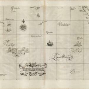
Apart from some small islands, this mid-17th century Italian map of the Indian Ocean features no land other than the islands of Sumatra and Java in the top right corner. Text on the map refers to winds (‘Venti’) and currents (‘Corrente’).

Carta particolare dell' Isole Celebes è Giliolo parte Austrle. è di Buttō, Batuliar, Timor, Seram, Banda, è Amboina è aItre Isolete

event1646

location_onIndonesia, East Timor

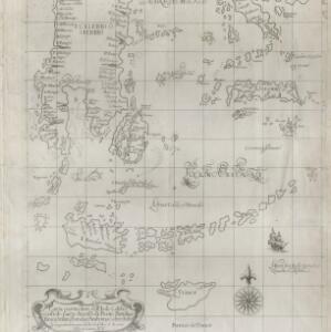
This mid-17th century Italian map shows the eastern islands of maritime Southeast Asia. Text on the map refers to winds (‘Venti’), currents (‘Corrente’) and air temperature (‘L'Aria è Calda e Humida [The air is hot and humid]’).

close