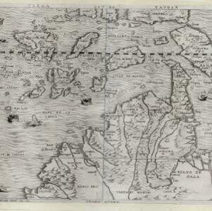
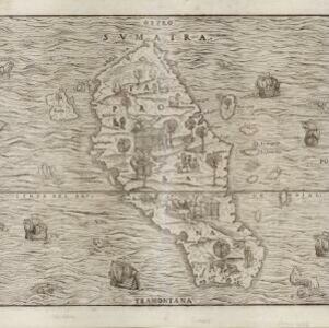
Sumatra ein grosse Insel: so von den alten Geographen Taprobana genennet worden
c.1588-1628
Indonesia, Malaysia, Singapore, Thailand
A map of Sumatra featuring villages, mountains and rivers; text describing the island; and a drawing of a man riding an elephant. The title uses the name ‘Taprobana’ for Sumatra, stating it was a name used by ‘ancient geographers [alten geographen]’.