Search Results
59 Results found
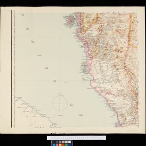
A map of the Malay Peninsula
1898
Malaysia, Singapore, Thailand
Map of the Malay Peninsula showcasing the Straits Settlements in pink, the Federated Malay States in red, and Siamese states in yellow. A table of common words in English, Malay and Siamese is included. Only four of six sheets are available.
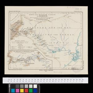
Karte des Mahakam-Flusses in Borneo: Nach den aufnahme der Niederländischen Expedition zur Durchquerung Borneo's, 1896-1897
1898
Indonesia, Malaysia
Map of the Mahakam River in Borneo, based on an expedition by the Dutch explorer Dr. Anton Nieuwenhuis in the late 19th century. An inset map shows the upper reaches of the river at twice the scale of the main map.
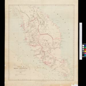
A Map of the Malay Peninsula
1897
Indonesia, Malaysia, Singapore, Thailand
On this late 19th century map of the Malay Peninsula, the British colonial territories—the Straits Settlements of Singapore, Malacca, Dinding and Penang—are in red, demarcating them from the British protectorate states of the rest of the peninsula.
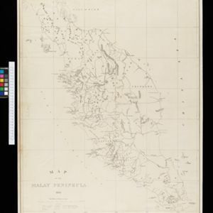
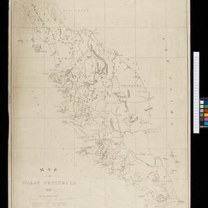
Map of the Malay Peninsula 1892
1892
Malaysia, Singapore, Thailand
Map of the Malay Peninsula divided into States, with names of local peoples marked (e.g. ‘Inhabited by Sakai & Semang’). Lighthouses are shown around the coast—including Horsburgh Lighthouse and Raffles Lighthouse—with their visible distance.

New sketch map of the protected Malay State of Perak
1892
Malaysia
Map of state of Perak (Malay Peninsula) with a table of statistics: area, population, road/railway/river lengths, revenue, tin exports. Straits Settlements highlighted red. Someone has added handwritten travel times/distances by steamer/road/train.
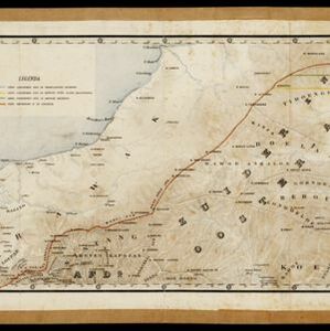
Kaart van een gedeelte van Borneo: met aanwijzing van de grens tusschen het Nederlandsch gebied en dat van het Britsche Protectoraat
1891
Indonesia, Malaysia, Myanmar
Map marking the border (in orange) agreed between British and Dutch territory on Borneo in 1891. Alternative borders are shown: according to the Dutch (blue), according to the British North Borneo Society (yellow) and proposed by the British (green).
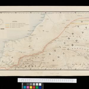
Kaart van een gedeelte van Borneo: met aanwijzing van de grens tusschen het Nederlandsch gebied en dat van het Britsche Protectoraat
1891
Indonesia, Malaysia
Map marking the border (in orange) agreed between British and Dutch territory on Borneo in 1891. Alternative borders are shown: according to the Dutch (blue), according to the British North Borneo Society (yellow) and proposed by the British (green).
- Filter from 1826 to 1899
- [remove]Colonial Possessions59
- [remove]District/Administrative Border59
- National Border10
- Regional Border10
- Civic/Metropolitan Border9

