Search

Search Results

Eastern islands or Malay archipelago

event1836

location_onBrunei, Cambodia, East Timor, Indonesia, Laos, Malaysia, Myanmar, Philippines, Singapore, Southeast Asia, Vietnam, Thailand

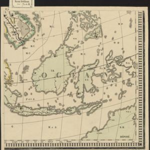
Brief notes printed on this 19th century map of Southeast Asia provide details about each region, including: numbers and ethnicity of the population, local or colonial rulers, crops and products, geography (corals, forests, volcanos, earthquakes).

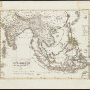
Ost-Indien mit den Inseln

eventc.1835

location_onBrunei, Cambodia, East Timor, Indonesia, Laos, Malaysia, Myanmar, Philippines, Singapore, Southeast Asia, Thailand, Vietnam

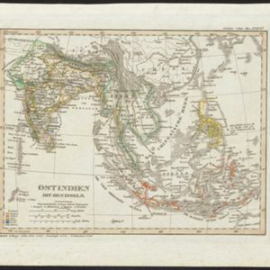
On this map of India and Southeast Asia, borders are outlined and cities underlined in different colours to show the colonial territories of the European powers. On Borneo, the names of indigenous peoples are listed (‘Dayak’s, Papua’s, Bugi’s’).

China, Birmah and Anam

event1835

location_onCambodia, Laos, Myanmar, Thailand, Vietnam, Philippines

Coloured borders are used on this map to divide mainland Southeast Asia into empires and kingdoms. Mountains, rivers and major settlements are shown in land, with islands, shoals and reefs marked in the South China Sea.

Ost-Indien mit den Inseln

eventc.1835

location_onBrunei, Cambodia, East Timor, Indonesia, Laos, Malaysia, Myanmar, Philippines, Singapore, Southeast Asia, Thailand, Vietnam

On this map of India and Southeast Asia, borders are outlined and cities underlined in different colours to show the colonial territories of the European powers. On Borneo, the names of indigenous peoples are listed (‘Dayak’s, Papua’s, Bugi’s’).

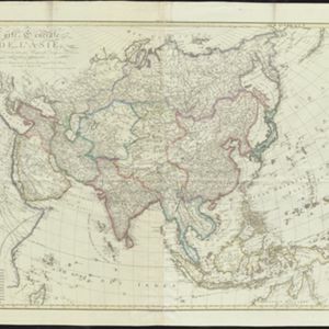
Carte generale de l'Asie: où se trouvent les découvertes faites par Bougainville, Dampier et La Pérouse

event1833

location_onBrunei, Cambodia, East Timor, Indonesia, Laos, Malaysia, Myanmar, Papua New Guinea, Philippines, Singapore, Southeast Asia, Thailand, Vietnam

This map of Asia is marked with the routes taken through Southeast Asia by the British Royal Navy captain James Cook, and the French explorer Lapérouse. The title also refers to two other explorers: Louis Antoine de Bougainville and William Dampier.

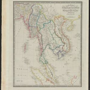
Map of the Burman Empire including also Siam, Cochin-China, Ton-king and Malaya

event1832

location_onVietnam, Myanmar, Malaysia, Indonesia, Thailand, Laos, Cambodia, Brunei, Singapore

Regional borders are colour-coded on this mid-19th century map of mainland Southeast Asia, with British colonial territory in red (including part of the Burman Empire, the Straits Settlements, and Sarawak on Borneo).

Asiatic archipelago

event1832

location_onVietnam, Myanmar, Papua New Guinea, Philippines, Singapore, Southeast Asia, Thailand, Malaysia, Laos, Indonesia, East Timor, Cambodia, Brunei

This late 19th century map of Southeast Asia shows the best maritime routes around the region, according to the time of year. There is also an inset map highlighting the rivers and southern islands of Singapore.

Ost-Indien mit den Inseln

event1831

location_onBrunei, Cambodia, East Timor, Indonesia, Laos, Malaysia, Myanmar, Philippines, Singapore, Southeast Asia, Thailand, Vietnam

On this map of India and Southeast Asia, borders are outlined and cities underlined in different colours to show the colonial territories of the European powers: British, Dutch, Spanish, Portuguese, French and Danish.

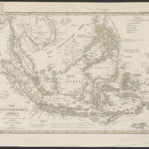
Die Ostindischen Inseln

event1830

location_onBrunei, Cambodia, East Timor, Indonesia, Laos, Malaysia, Myanmar, Philippines, Singapore, Southeast Asia, Thailand, Vietnam

Map of Southeast Asia highlighting European colonial possessions. Unusually, the south coast of the Philippine island of Mindanao is shown twice, reflecting uncertainty about its true location. Names of indigenous peoples are listed on Borneo.

Kaart van Azië ten gebruike der scholen van het Koninkrijk der Nederlanden = Carte d'Asie, a l'usage des maisons d'éducation

event1830

location_onBrunei, Cambodia, East Timor, Indonesia, Laos, Malaysia, Myanmar, Philippines, Singapore, Southeast Asia, Thailand, Vietnam

Map of Asia spread over nine sheets, for use in schools. Place names are not printed on the map itself, but are represented by initials and numbers (presumably, there is a legend that lists the names, but it is not present).

close