Search

Search Results

Burma and adjacent countries: With additions and corrections to boundaries and railways up to December, 1898

event1898

location_onMyanmar, Thailand

The regional and national borders of Burma and Siam are hand-coloured on this map. Provinces, districts and states within Burma are also highlighted, and itemised in a separate list.

City of Mandalay and environs

event1894

location_onMyanmar

Map of the Burmese city of Mandalay on the Irrawaddy River. The city has a grid of roads and buildings, dominated by Fort Dufferin (formerly Mandalay Palace). The surrounding country has villages, crops, agricultural ponds and irrigation channels.

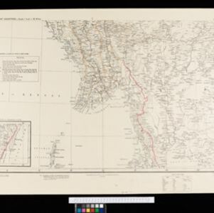
Burma and adjacent countries

event1892

location_onMyanmar, Thailand

The regional and national borders of Burma and Siam are hand-coloured on this map. Provinces, districts and states within Burma are also highlighted, and itemised in a separate list.
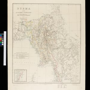
Burma and adjacent countries

event1892

location_onMyanmar, Thailand

The regional and national borders of Burma and Siam are hand-coloured on this map. Provinces, districts and states within Burma are also highlighted, and itemised in a separate list.
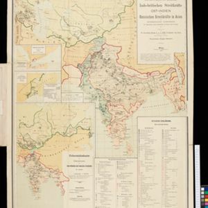
Dislocations-Karte der Indo-britischen Streitkräfte in Ost-Indien und der Russischen Streitkräfte in Asien

event1892

location_onMyanmar

Four maps showing the locations of British and Russian military units in Asia, including British and Indian (Madras Army) troops in Burma (Myanmar). Extensive legends identify individual regiments, battalions etc.

To the Right Honourable William, Lord Cowper, Lord High Chancellor of Great Britain, this map of Asia

event1720

location_onBrunei, Cambodia, East Timor, Indonesia, Laos, Malaysia, Myanmar, Papua New Guinea, Philippines, Singapore, Southeast Asia, Thailand, Vietnam

Map dedicated to William Cowper, whose coat of arms sits atop the cartouche. It features two horses holding a crest with three martlets (mythical birds used in heraldry). The cartouche also features Asian traders. Monsoons are marked on the map.

A map of the East-Indies and the adjacent countries: with the settlements, factories and territories, explaning what belongs to England, Spain, France, Holland, Denmark, Portugal &c.

event1720

location_onBrunei, Cambodia, East Timor, Indonesia, Laos, Malaysia, Myanmar, Philippines, Vietnam, Thailand, Southeast Asia, Singapore

This map showcases the colonial territories of Southeast Asia in the 18th century, with text detailing trading information and the products of each region. There are five inset maps featuring plans of specific trading ports.

close

  • Filter from 1720 to 1898

Current results range from 1720 to 1898