Search

Search Results

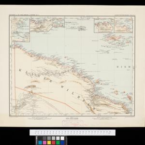
Schutzgebiet der Neu-Guinea-Kompanie

eventc.1892-1893

location_onIndonesia, Papua New Guinea

Very detailed six-sheet map of eastern New Guinea, with numerous inset maps of bays and islands, and other inset maps covering ethnography, explorers of the region, marine routes across the Pacific Ocean, cannibalism, missionaries activity etc.

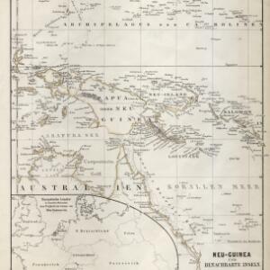
Neu-Guinea und benachbarte Inseln

event1869

location_onPapua New Guinea, Indonesia

From August Petermann's ‘Geographische Mittheilungen’, this map of New Guinea and neighbouring islands is marked with a maritime route from the western tip of New Guinea that is labelled ‘from Batavia to Hong Kong in 35 days’ and dated 1846.

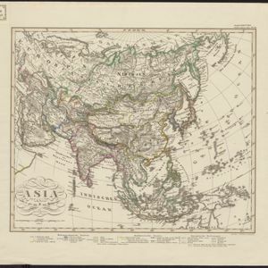
Asien

eventc.1850

location_onBrunei, Cambodia, East Timor, Indonesia, Laos, Malaysia, Myanmar, Papua New Guinea, Philippines, Singapore, Southeast Asia, Thailand, Vietnam

On this map of Asia, colours are used to show the colonial territories of the European powers, and to show Muslim and Buddhist regions: Sumatra is divided between the Netherlands and local rulers; the Straits Settlements underlined in red (British).

close

  • Filter from 1850 to 1892

Current results range from 1850 to 1892