Search

Search Results

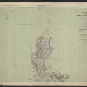
Carta general (en dos hojas) del Archipiélago Filipino

event1900

location_onPhilippines

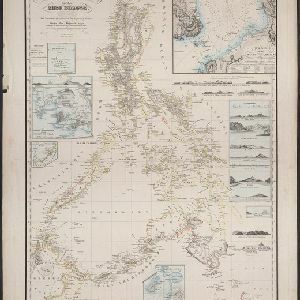
Reduzirte Karte von den Philippinen und den Sulu Inseln

event1884

location_onPhilippines, Malaysia, Indonesia

East India Archipelago, western route to China. Chart no. 6

event1882

location_onPhilippines

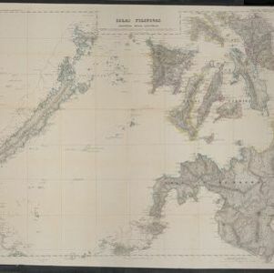
Islas Filipinas. Segunda hoja central

event1852

location_onPhilippines

Borneo

event1851

location_onMalaysia, Southeast Asia, Philippines, East Timor, Vietnam, Brunei, Indonesia

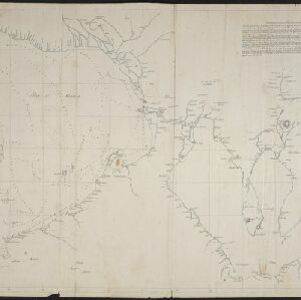
[Manuscript map of Manila Harbor and Bay Lake]

event1810

location_onPhilippines

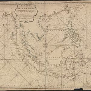
A new chart of the Oriental Seas and Islands... from the Isle of Ceylon to Amoye in China

event1790

location_onBrunei, Cambodia, East Timor, Indonesia, Laos, Malaysia, Myanmar, Philippines, Singapore, Southeast Asia, Thailand, Vietnam

A dangerous shoal seen Septr. the 28, 1767 (Joseph Freewills Islands)

event1773

location_onPhilippines, Indonesia

[Philippine Islands]

event1665

location_onPhilippines

close

  • Filter from 1665 to 1900

Current results range from 1665 to 1900