Search

Search Results

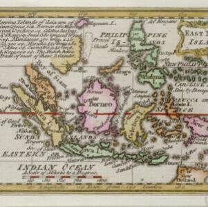
East India islands

event1758

location_onBrunei, East Timor, Indonesia, Malaysia, Philippines, Singapore

Text on this mid-18th century map notes the dimensions of the islands of maritime Southeast Asia, in length, breadth and square miles (e.g. ‘Java 580 long, 105 broad, & 38,250 sq.’). It also states that the Dutch are the main traders in the region.

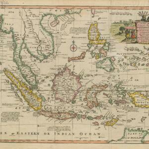
A new and accurate map of the East India Islands: laid down according to the latest discoveries, and agreeable to the most approved maps & charts

event1750

location_onBrunei, Cambodia, East Timor, Indonesia, Laos, Malaysia, Myanmar, Philippines, Singapore, Southeast Asia, Thailand, Vietnam

This mid-18th century map of Southeast Asia includes written notes on goods produced and traded, geographical features, and wild animals found in each part of the region.

Archipel des Indes Orientales: qui comprend les Isles de la Sonde, Moluques et Philippines

event1750

location_onBrunei, Cambodia, East Timor, Indonesia, Malaysia, Philippines, Singapore, Southeast Asia, Thailand, Vietnam

This 18th century map of Southeast Asia by the French cartographer Gilles Robert de Vaugondy features the national borders of the Philippines in green, and of modern Indonesia in yellow. The Malay Peninsula and modern Cambodia and Vietnam are in red.

Les Indes oriental et leur archipel: aßujetties aux observations astronomiques

event1750

location_onBrunei, Cambodia, East Timor, Indonesia, Laos, Malaysia, Myanmar, Philippines, Singapore, Southeast Asia, Thailand, Vietnam

This mid-18th century map of Asia has colour-coded regions, with mainland Southeast Asia and the Greater Sunda Islands bordered in blue, and India in red.

Isles Philippines et Moluques

event1749

location_onIndonesia, Philippines, Papua New Guinea, East Timor

From the second edition (1749) of ‘Atlas Portatif Universel et Militaire’ by the French cartographer Gilles Robert de Vaugondy (1688–1766), this map features the Philippines (in blue) and Maluku Islands (in red).

Isles Philippines

event1748

location_onPhilippines

This mid-18th century map of the Philippine archipelago by the French cartographer and publisher Georges-Louis Le Rouge also features some of the Caroline Islands.

Carte des Indes Orientales

event1748

location_onBrunei, Cambodia, East Timor, Indonesia, Laos, Malaysia, Myanmar, Philippines, Singapore, Southeast Asia, Thailand, Vietnam

This mid-18th century map features a label noting that the Byayos people inhabited the mountains of central Borneo. Another note at the northeast tip of Borneo states that the location and number of islands in the area is uncertain.

Suite de l'Ocean Oriental contenant les Isles de la Sonde, les costes de Tunquin et de la Chine, les isles du Japon, les Philippines, Moluques

event1746

location_onBrunei, Cambodia, East Timor, Indonesia, Malaysia, Papua New Guinea, Philippines, Singapore, Thailand, Vietnam, Southeast Asia

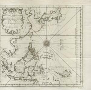
The coast of New Guinea (‘Nouvelle Guinée’) is represented in part by a dotted line on this mid-18th century map, indicating that the exact coastlines were unknown at this time. The western tip is labelled ‘C. de Bonne Esperance [Cape of Good Hope]’.

Carte des isles Philippines, Celebes et Moluques

eventc.1746-1770

location_onBrunei, Malaysia, Philippines, Indonesia, East Timor

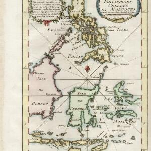
The note in French at the top left of this map states that although the map is accurate, the names of many small islands have been omitted to avoid confusion, and that more details will come later.

Asia secundum legitimas projectionis stereographicae regulas et juxta recentissimas observation et relationes = Carte de l'Asie, projettée stereographiquement, tirée des relations et observations

event1744

location_onBrunei, Cambodia, East Timor, Indonesia, Laos, Malaysia, Myanmar, Philippines, Singapore, Southeast Asia, Thailand, Vietnam

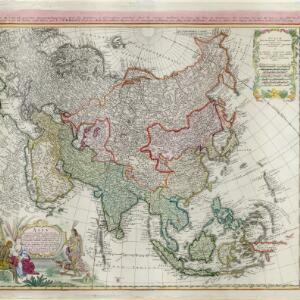
This mid-18th century map of Asia has a stereographic projection to aid in navigation. There is also an illustration featuring two Asian men depicted as warriors, with a robed woman, as well as a large lizard.

A new and accurate map of the East India Islands: laid down according to the latest discoveries, and agreeable to the most approved maps & charts

eventc.1744-1747

location_onBrunei, Cambodia, East Timor, Indonesia, Laos, Malaysia, Myanmar, Philippines, Singapore, Southeast Asia, Thailand, Vietnam

This mid-18th century map of Southeast Asia includes written notes on goods produced and traded, geographical features, and wild animals found in each part of the region.

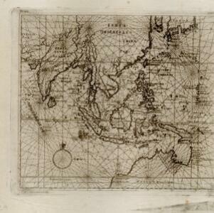
India orientalis

event1744

location_onBrunei, Cambodia, East Timor, Indonesia, Laos, Malaysia, Myanmar, Philippines, Singapore, Southeast Asia, Thailand, Vietnam

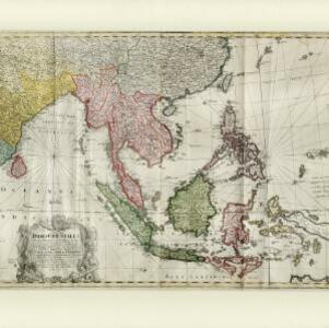
This map features a rhumbline network, a web of lines to help plot routes and aid navigation. Where the lines meet, there is a compass rose with an arrow pointing to north.

close

  • Filter from 1540 to 1858

Current results range from 1540 to 1858