Search

Search Results

A general chart of the Atlantic and Indian oceans, with the situation & plan of Pulo Peenang or Price of Wales's Island / Plan of the Strait within Poolo Pinang

event1788

location_onMalaysia, East Timor, Indonesia, Papua New Guinea, Singapore

Two maps. One features most of the world, but with Borneo, Philippines and most of mainland Southeast Asia missing, though there is an inset map of Penang. The other is a navigation map of the strait at Penang, with bathymetry and elevations.

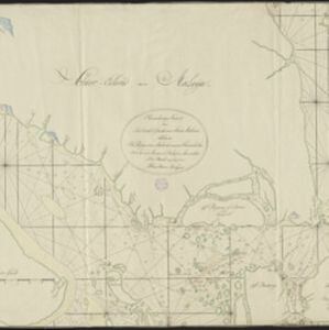
Naauwkeurige kaart van het oostlijk gedeelte van Straat Malacca

eventc.1780

location_onMalaysia, Indonesia, Singapore

This map of the Straits of Malacca features shoals and reefs, bathymetry (sea depth), drawings of side views of landmark mountains (elevations), all designed to aid navigation. The various straits used around Singapore are also marked.

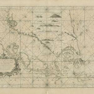
Carte réduite des détroits de Malaca, Sincapour, et du Gouverneur

event1755

location_onMalaysia, Singapore, Indonesia

Maps like this aided navigation through the islands, shoals and reefs of Singapore and the Malacca Strait. Three routes around Singapore are shown, numbers on the sea indicate water depth, and the profile views of mountains were used as landmarks.

Royaume de Siam, avec les Royaumes qui luy sont Tributaires, et les Isles de Sumatra, Andemaon etc.

event1742

location_onBrunei, Cambodia, Indonesia, Laos, Malaysia, Myanmar, Singapore, Thailand, Vietnam

Map marking the routes through maritime Southeast Asia of two delegations: a French delegation from Brest, France to Siam in 1685; and a Siamese delegation from Siam to Brest in 1686. A note next to Aceh records a sea battle against Portugal in 1616.

Le Détroit de Malacca: dressé sur les memoires des plus savans Voyageurs modernes

eventc.1700-1799

location_onMalaysia, Indonesia, Singapore

This 18th century map was designed to aid navigation through the Strait of Malacca between Sumatra and the Malay Peninsula. Shoals, reefs and islands are marked, and the numbers printed on the strait record sea depth (bathymetry).

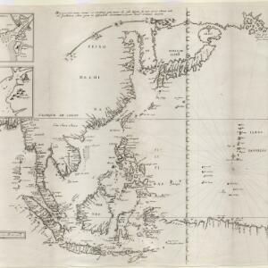
[Map of the East Indies]

event1666

location_onVietnam, Myanmar, Papua New Guinea, Philippines, Singapore, Southeast Asia, Thailand, Malaysia, Laos, Indonesia, East Timor, Cambodia, Brunei

This mid-17th century map of Southeast Asia has a maritime focus, with shoals and reefs, and the coastal areas marked in great detail, while the interiors remain mostly blank. The Great Wall of China can be seen at the top of the map.

Straat Sincapura

eventc.1650

location_onSingapore, Indonesia

Hand-drawn map of the Singapore Strait, with Singapore above (green coastline) and the Riau Archipelago below. Bathymetry (sea depth), shoals and reefs are marked. Two mountains at the eastern end of the strait are shown in profile as landmarks.

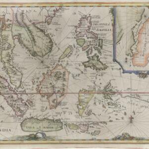
Mar di India

event1644

location_onBrunei, Cambodia, East Timor, Indonesia, Laos, Malaysia, Myanmar, Philippines, Singapore, Southeast Asia, Thailand, Vietnam

This mid-17th century map of Southeast Asia is from Isaac Commelin’s book describing the voyages of the Dutch East India Company ‘Begin ende voortgangh…’. There is an inset map of the island of Botton (Buton Island, southeast of Celebes (Sulawesi)).

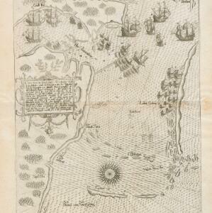
Contrafactur des Scharmutz els der Hollander wider die Portigesen in dem Flus Batusabar

event1607

location_onSingapore

Maps can sometimes record a single event: this map depicts an October 1603 battle between the Dutch and Portuguese, as they fought for control of the trade routes through the Singapore Straits. The text panel recounts the story of the battle.

close