Search

Search Results

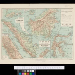
[Various Indonesian islands]

eventc.1900

location_onMalaysia, Brunei, Indonesia, Singapore

Seven locations in the Dutch East Indies on one sheet: the islands of Borneo, Sumatra, Celebes (Sulawesi), Ambon and Banda, the city of Padang and its region on the west coast of Sumatra, and the tip of the Minahasa Peninsula (northern Celebes).

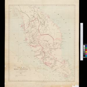
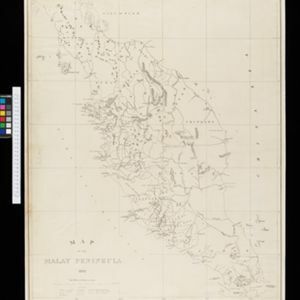
A Map of the Malay Peninsula

event1897

location_onIndonesia, Malaysia, Singapore, Thailand

On this late 19th century map of the Malay Peninsula, the British colonial territories—the Straits Settlements of Singapore, Malacca, Dinding and Penang—are in red, demarcating them from the British protectorate states of the rest of the peninsula.

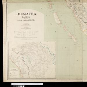
Soematra, Bangka en de Riouw-Lingga Archipel

event1897

location_onMalaysia, Indonesia, Singapore, Myanmar

Map of Sumatra and surrounding islands, with residencies—administrative districts—shown by coloured borders. There are inset maps of two residencies surrounding Padang, and of Groot-Atjeh (Aceh). Rivers, railways, roads and settlements are marked.

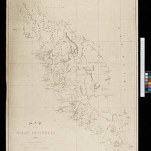
Map of the Malay Peninsula 1892

event1892

location_onMalaysia, Singapore, Thailand

Map of the Malay Peninsula divided into States, with names of local peoples marked (e.g. ‘Inhabited by Sakai & Semang’). Lighthouses are shown around the coast—including Horsburgh Lighthouse and Raffles Lighthouse—with their visible distance.

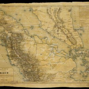
Kaart der residentie Riouw met onderhoorigheden, aangrenzend deel van Sumatra's Westkust en schiereiland Malakka

event1871

location_onIndonesia, Malaysia, Singapore

Map of the Riouw (Riau) Residency, Sumatra. The border between Riau and the island’s west coast is marked in red ‘as far as it is known [voor zoo verre die... bekend is]’, ending abruptly in the unexplored mountains near Lake Toba, northern Sumatra.

Nederlandsch Oost-Indië

event1865

location_onBrunei, Cambodia, East Timor, Indonesia, Laos, Malaysia, Myanmar, Vietnam, Thailand, Southeast Asia, Singapore, Philippines, Papua New Guinea

This detailed map of the Dutch East Indies in the mid-19th century contains a great deal of information: topographical details, settlements and administrative areas, roads, railways and maritime routes, telegraph lines, inset maps etc.

Nederlandsch Oost-Indië

event1840

location_onBrunei, East Timor, Indonesia, Malaysia, Papua New Guinea, Philippines, Singapore

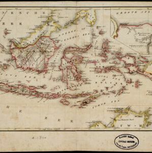
The Dutch East Indies are bordered in red on this mid-19th century map. A maritime postal route from China to Europe, via Singapore and Penang, is shown. Another maritime route, from Batavia to Singapore, is also marked.

Eastern islands or Malay archipelago

event1836

location_onBrunei, Cambodia, East Timor, Indonesia, Laos, Malaysia, Myanmar, Philippines, Singapore, Southeast Asia, Vietnam, Thailand

Brief notes printed on this 19th century map of Southeast Asia provide details about each region, including: numbers and ethnicity of the population, local or colonial rulers, crops and products, geography (corals, forests, volcanos, earthquakes).

Partie de la nouvelle Grande Cartes des Indes Orientales, contenant les Isles Maldives, Ceylan, Malacca, Sumatra &c.

event1700

location_onIndonesia, Malaysia, Singapore, Thailand

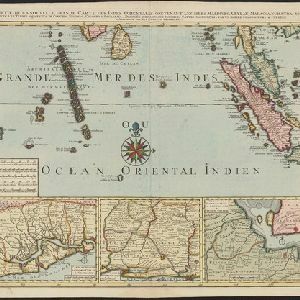
Sumatra and the Malay Peninsula feature on this map of the Indian Ocean. Enganno Island, west of southern Sumatra, has a label that translates as ‘inhabited by very pernicious savages’. An inset map depicts the Madura Strait between Java and Madura.

Isole dell'Indie divise in Filippine, Molucche e della Sonda

eventc.1691-1696

location_onBrunei, Cambodia, East Timor, Indonesia, Laos, Malaysia, Myanmar, Philippines, Singapore, Southeast Asia, Thailand, Vietnam

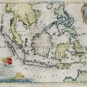
Dotted lines and colours divide maritime Southeast Asia into three regions on this map: the Philippine archipelago, Maluku Islands and Sunda Islands. The cartouche features cherub mermaids carrying a banner and shield.

Isole dell'India, cioè le Molucche, le Filippine e della Sonda: parte de Paesi di nuoua scoperta e l'Isole de Ladri nel Mare del Zud

event1683

location_onBrunei, Cambodia, East Timor, Indonesia, Laos, Malaysia, Myanmar, Papua New Guinea, Philippines, Singapore, Southeast Asia, Thailand, Vietnam

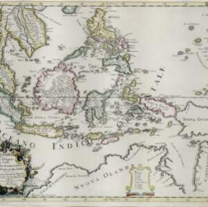
Dotted lines on this late 17th century map demarcate regions and kingdoms (which also have a crown symbol). The cartouche is shaped like a giant shell supported by mermen, with cherubs holding up shells and pearls on top.

close