Search

Search Results

Map of South-Eastern Asia and Northern Australia: showing the districts in Annam and Tonquin which France proposes to annex and to place under a Protectorate, the portion of New Guinea proposed to be acquired by Queensland, and the districts affected by the volcanic eruptions in Java

event1883

location_onSoutheast Asia, Singapore, Thailand, East Timor, Vietnam, Brunei, Cambodia, Indonesia, Laos, Malaysia, Myanmar, Papua New Guinea, Philippines

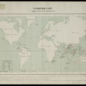
Wereldkaart volgens Mercator's projectie

event1883

location_onBrunei, Cambodia, East Timor, Indonesia, Laos, Malaysia, Myanmar, Papua New Guinea, Philippines, Singapore, Southeast Asia, Thailand, Vietnam

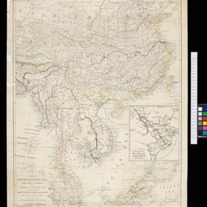
A Map of South Eastern Asia from Peking to Singapore... with an enlarged plan of the environs of Hanoi, on the Red River

event1883

location_onBrunei, Cambodia, Indonesia, Laos, Malaysia, Myanmar, Singapore, Thailand, Vietnam

Sketch of works before Phu-sa, showing position of troops at 3 p.m. on the 14th Dec 1883, before the assault

event1883

location_onVietnam

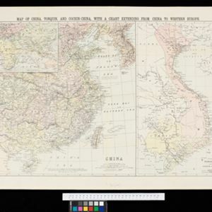
Map of China, Tonquin and Cochin-China, with a chart extending from China to western Europe

event1883

location_onCambodia, Laos, Thailand, Vietnam

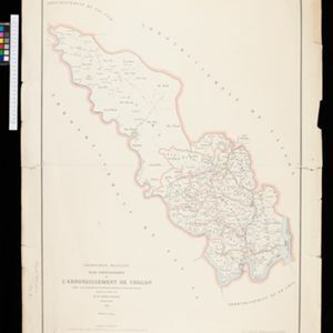
Plan topographique de l'arrondissement de Cholon

event1882

location_onVietnam

Itinéraire de Hanoi à That-khe par Lang-son (Frontière Chinoise du Kouang-Si)

event1881

location_onVietnam

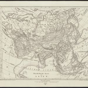
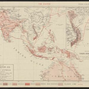
Physikalische Karte von Asien

event1881

location_onBrunei, Cambodia, East Timor, Indonesia, Laos, Malaysia, Myanmar, Philippines, Singapore, Southeast Asia, Thailand, Vietnam

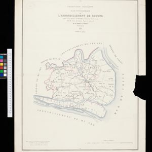
Plan topographique de l'arrondissement de Gocong

event1881

location_onVietnam

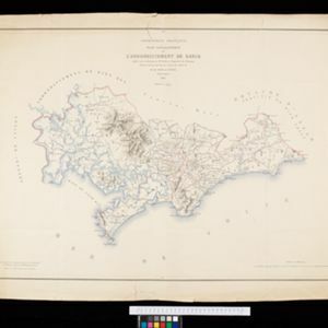
Plan topographique de l'arrondissement de Baria

event1881

location_onVietnam

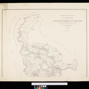
Plan topographique de l'arrondissement de Bien-Hoa

event1881

location_onVietnam

Physikalische Karte von Asien

event1881

location_onBrunei, Cambodia, East Timor, Indonesia, Laos, Malaysia, Myanmar, Philippines, Singapore, Southeast Asia, Thailand, Vietnam

close