Search

Search Results

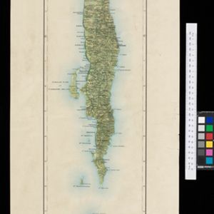
Kaart van de afdeeling, eiland Saleijer (Silaijara)

event1889

location_onIndonesia

Map of Saleijer (Selayar)—an island off the south coast of Celebes (Sulawesi)—and nearby islands. Settlements and roads are shown, including a long road along the west coast which links cities marked with a Dutch flag, illustrating colonial rule.

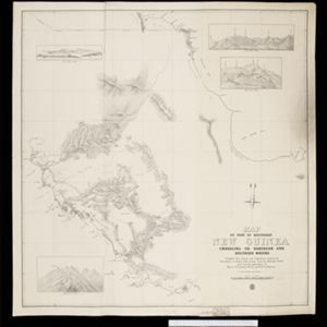
Map of part of south-east New Guinea embracing its northern and southern waters

event1889

location_onPapua New Guinea

This map focuses on the southern coast including the capital Port Moresby, with the northern regions left mostly blank. There are four inset drawings of side views of mountains (elevations), and the border with German New Guinea is marked.

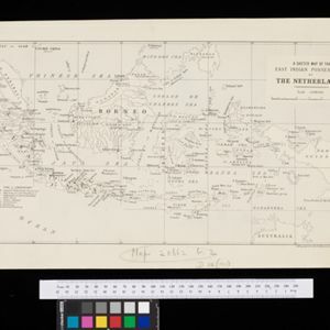
A sketch map of the East Indian possessions of the Netherlands

event1886

location_onBrunei, Indonesia, Malaysia, Papua New Guinea, Philippines, Singapore

Produced by the Intelligence Branch of the British War Office, this map shows Dutch colonial territories in maritime Southeast Asia, and their political and military divisions in Java and Madura. British and Spanish territories are also marked.

close

  • Filter from 1886 to 1898

Current results range from 1886 to 1898