Search

Search Results

Map to illustrate Convention of March 1st 1894 between Great Britain and China: From the Map of Upper Burma

event1894

location_onMyanmar

Map of the border region between the Shan States of northeast Burma (Myanmar) and China's Yunnan Province, illustrating the result of the 1894 Sino-British boundary convention. The Burma side is more detailed, with mountains, rivers and settlements.

Queensland & British New Guinea

eventc.1894-1897

location_onIndonesia, Papua New Guinea

The first two sheets of this eight-sheet map focus on British New Guinea, with German and Dutch colonial areas of New Guinea also shown in part. There is a line marking a proposed change in border between Dutch and British territory.

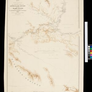
Kaiser Wilhelms-Land: Das Hinterland der Astrolabe-Bucht bis zum Ramu-Fluss

event1896

location_onPapua New Guinea

Map of part of the north coast of Kaiser-Wilhelmsland (German New Guinea) spread over two sheets. It focuses on rivers, noting width, depth, temperature, currents, vegetation etc.; and on mountains, showing heights and side views (elevations).

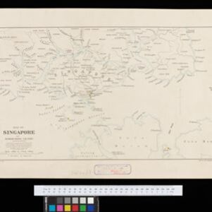
Map of Singapore and surrounding country

event1896

location_onSingapore, Malaysia, Indonesia

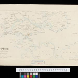
Map of Singapore Island, including the surrounding islands and straits, and southern Johor. Lighthouses are marked in red and yellow, including Horsburgh Lighthouse on Pedra Branca, Raffles Lighthouse and Fort Canning Lighthouse.

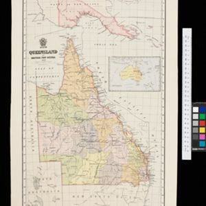
Queensland and British New Guinea

event1897

location_onIndonesia, Papua New Guinea

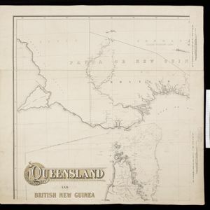
British New Guinea is highlighted in red on this map of New Guinea and Australia, with German and Dutch colonial areas also partially shown. There is a line marking the boundary between the British and German spheres of influence.

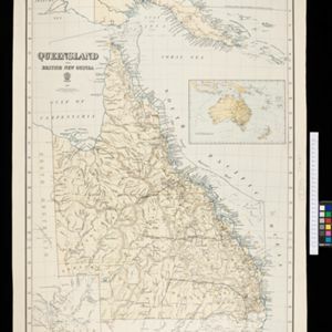
Queensland and British New Guinea

event1897

location_onIndonesia, Papua New Guinea

New Guinea is divided between British, German and Dutch colonial powers on this map of New Guinea and Australia. There is a line marking the boundary between the British and German spheres of influence. Bays and islands around the coast are named.

Handelskaart van Java en Madoera

event1898

location_onIndonesia

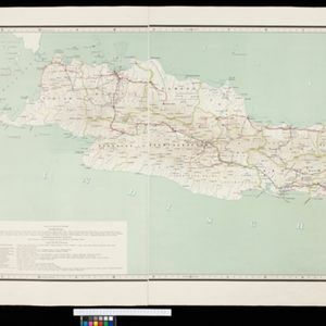
Map of Java and Madura showing routes, especially for trading purposes, including railways, tramways, roads, ports for steamship services, harbours for different types of imports and exports. A list of train and tram routes is included.

Sketch map shewing progress of railway construction in the Federated Malay States

event1898

location_onMalaysia

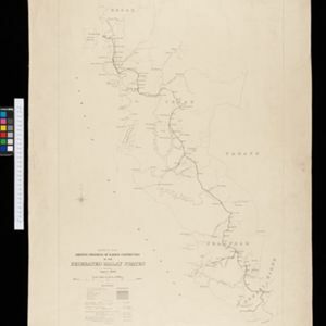
Various stages of railway construction are shown on this map of the west coast of the Malay Peninsula, from stretches being surveyed to completed line. Costs are given for the construction.

Map of Singapore and surrounding country

event1899

location_onMalaysia, Singapore, Indonesia

Map of Singapore Island, including the surrounding islands and straits, and southern Johor. Lighthouses are marked in red and yellow, including Horsburgh Lighthouse on Pedra Branca, Raffles Lighthouse and Fort Canning Lighthouse.

close

  • Filter from 1886 to 1899

Current results range from 1886 to 1899