
Search Results


Westkust Celebes: Vaarwaters benoorden Makasser: Blad II
1898
Indonesia
Navigation map of the west coast of Celebes (Sulawesi), north of Makassar. Bathymetry (sea depth), shoals and other obstructions are marked, with hills and settlements as landmarks, and elevations (side views of hills) to aid navigation.


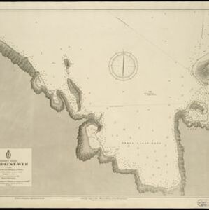
Westkust Celebes: Vaarwaters benoorden Makasser: Blad I
1898
Indonesia
Navigation map of the west coast of Celebes (Sulawesi), north of Makassar. Bathymetry (sea depth), lighthouses, shoals and other obstructions are marked, with trees and hills as landmarks, and elevations (side views of hills) to aid navigation.

Westkust Celebes: Vaarwaters benoorden Makasser: Blad III
1898
Indonesia
Navigation map of the west coast of Celebes (Sulawesi), north of Makassar. Bathymetry (sea depth), shoals and other obstructions are marked, with hills and settlements as landmarks, and elevations (side views of hills) to aid navigation.


Vaarwaters en ankerplaatsen op de Oostkust van Borneo: Blad I
1896
Indonesia
Four navigation maps of waterways on the northeast coast of Borneo, including the Karang Muaras reef. Anchorages, bathymetry (sea depth), shoals and other obstructions are shown, with trees, hills and elevations (side views of hills) as landmarks.

- Bathymetry34
- [remove]Maritime Route34
- Tide Data23
- Current Data4
- [remove]Ministerie van Marine, Afdeeling Hydrographie34
- Roeloffzen en Hübner28
- Roeloffzen-Hübner en Van Santen2
- A.J. Jopp1
- Hydrographische Bureau1
- Wegner & Mottu1


