Search

Search Results

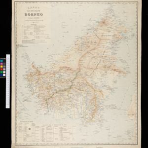
Kaart van het eiland Borneo

event1899

location_onBrunei, Indonesia, Malaysia

This map of Borneo is divided between two residencies of the Dutch East Indies (Residentie Westerafdeeling van Borneo and Residentie Zuider en Oosterafdeeling van Borneo), and the British protectorates of Sarawak and British North Borneo.

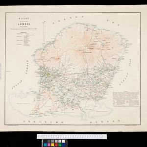
Kaart van het eiland Lombok

event1897

location_onIndonesia

A map of the island of Lombok divided into administrative districts. Rivers, roads and paths, forests and mountains, anchor points, and crops—rice, coconut, coffee, banana, alang-alang, bamboo, casuarina (Javanese pine)—are marked.

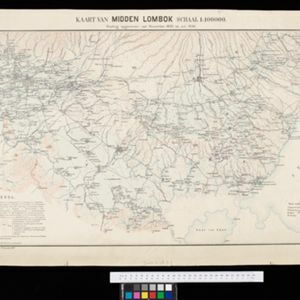
Kaart van Midden Lombok

event1897

location_onIndonesia

Map of southern Lombok in the Lesser Sunda Islands, including the capital city Mataram, other settlements, routes and crops/plantations—rice, coconut, tea, coffee, banana, alang-alang, bamboo, arenga palm—with more mountainous regions to the north.

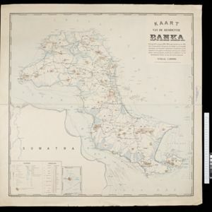
Kaart van de residentie Banka

event1896

location_onIndonesia

Map of Banka (Bangka) Island, east of Sumatra, divided into administrative districts. Rocks, shoals, buoys and anchor points are marked around the coast, with mountains, wetlands, roads and settlements on land. Inset map of Pulau Liat (Liat Island).

Kaart van de Hoofdplaats Padang

event1896

location_onIndonesia

Map of the city of Padang, Sumatra, featuring roads, religious and military buildings, markets, warehouses and factories, and a railway station. Surrounding areas have villages and fields of rice, nutmeg, coconut, bamboo, alang-alang, sugarcane.

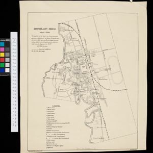
Hoofdplaats-Medan

event1895

location_onIndonesia

Map of the city of Medan on the north coast of Sumatra, featuring the Deli and Babura rivers and two railway lines. Other notable locations include a race track, military camp, Sultan’s palace (Maimun Palace), police station, offices, hospitals etc.

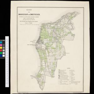
Kaart van Makassar en Omstreken

event1894

location_onIndonesia

Map of the city of Makassar, Celebes (Suawesi), with the Dutch Fort Rotterdam, Koning’s Plein (King's Square) and a military hospital. The surrounding area has villages and crops: rice (paddy) fields, coconut, bamboo, nipa palm, banana.

Kaart der Bataklanden en van het eiland Nijas

event1890

location_onIndonesia

A large-scale map of northern Sumatra, spread over 16 sheets, and divided into administrative regions. The island of Nijas (Nias) is marked with the locations of local tribes, and there is a list of other maps referenced in producing the map.
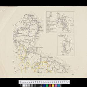
Kaart van de residentie Oostkust van Sumatra

event1889

location_onIndonesia

Detailed topographical map of the east coast of Sumatra, spread over 34 sheets. The area’s farms are listed and shown on the map, with types of crop grown. With five inset maps of individual towns. Two sheets and the cover sheet are missing.
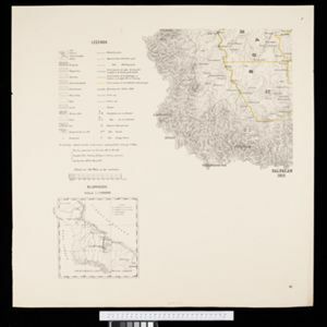
Sumatra

event1889

location_onIndonesia

Map of the city of Padang on the west coast of Sumatra, with inset maps of the nearby islands, featuring residential, business, government and military areas. There are also agricultural areas with coconut, nutmeg, bamboo, nipa palm and sago palm.

Kaart van de Afdeeling Deli der residentie Oostkust van Sumatra

event1887

location_onIndonesia

A map of the department of Deli, Java, divided into administrative districts, and spread over eight sheets. Rivers, railways, roads and paths, forests and mountains, and crops—rice, coconut, pepper, nutmeg, alang-alang—are marked.

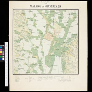
Kaart van Malang en Omstreken

event1882

location_onIndonesia

Map of the city of Malang, Java, featuring the railway station, military camp, hospital, market etc. The surrounding area has villages, rivers and crops: rice (paddy) fields, coffee, alang-alang, bamboo. Red numbers represent height above sea-level.

close

  • Filter from 1872 to 1899

Current results range from 1872 to 1899