Search

Search Results

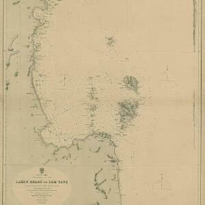
Gulf of Siam: Malay Peninsula - East Coast. Lakon Roads to Lem Tane

event1880

location_onThailand

Produced by the British Admiralty’s Hydrographic Office, this map includes various navigational aids, such as maritime routes, bathymetry (sea depth), tide and current data, and elevations (side views of hills and mountains to use as landmarks).

Principal Dutch colonies in the Indian seas

event1872

location_onBrunei, Indonesia, Malaysia

Two maps of the Dutch East Indies, decorated with drawings of local people and animals. Dutch colonial territory and local sultanates and provinces are highlighted. The heights of Java’s mountains and settlements are displayed in an elevation view.

Asiatic archipelago

event1858

location_onVietnam, Myanmar, Papua New Guinea, Philippines, Singapore, Southeast Asia, Thailand, Malaysia, Laos, Indonesia, East Timor, Cambodia, Brunei

This late 19th century map of Southeast Asia shows the best maritime routes around the region, according to the time of year. There are also inset maps highlighting the rivers and southern islands of Singapore, and the sea depth around Labuan Island.

Singapore harbours and roads with the adjacent channels

event1840

location_onSingapore

An early 19th century map of Singapore’s southern coast and islands, with bathymetry (sea depth), shoals and reefs, anchor points, and notes to aid navigation. The roads and main buildings of Singapore city are also shown.

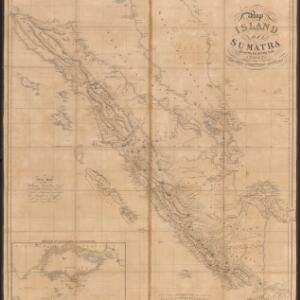
Map of the island of Sumatra constructed chiefly from surveys taken by order of the late Sir Thos. Stamford Raffles

event1829

location_onIndonesia, Malaysia, Singapore

On this map of Sumatra, the west coast mountain ranges contrast with the rivers to the east. An inset map of Singapore focuses on jungles along the coasts, and features bathymetry (sea depth) around the south coast and along the Singapore Strait.

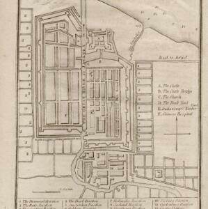
Batavia

event1812

location_onIndonesia

A plan of Batavia in the early 19th century, with the castle, church, dock yard, timber yard and hospital highlighted on the map’s legend. Also shown is the canal flowing through the city to the port, where the sea depth (‘soundings’) is indicated.

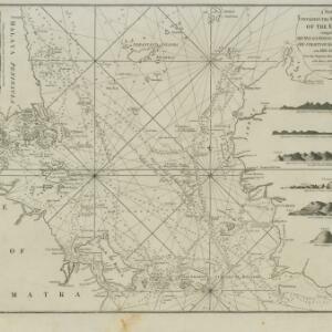
A new chart containing the southwest part of the China Sea comprised between the Malaya Peninsula, Straits of Singapore &c. the Straits of Banca, Gaspar and Billiton and the Isle of Borneo

event1794

location_onIndonesia

A map of the China Sea between Malaya, Sumatra and Borneo. The numbers indicate sea depth (bathymetry), and there are drawings of the side views of some of the islands (elevations), both used to aid navigation. Some maritime routes are also marked.

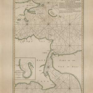
A new plan of the Straits, situated to the east of Java & Madura commonly called the Straits of Bali and of Pondi and Respondi

event1794

location_onIndonesia

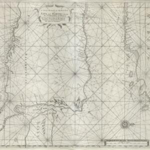
A late 18th century navigation map of the waters between the islands of Java, Madura and Bali. The web of lines is a rhumbline network, the numbers indicate sea depth (bathymetry), and there is an inset map of the Bay of Ballambouang, Java.

A chart of the seas between the Straits of Banca and Po. Timon: with the eastern part of the Straits of Malacca

event1767

location_onIndonesia, Malaysia

This mid-18th century maritime map charts the seas between Peninsula Malaysia and Sumatra, including Singapore—named ‘Po. Panjang’—with the old and new Straits of Singapore marked. The numbers indicate sea depth (bathymetry).

A new and correct chart of part of the island of Java from the west end to Batavia with the Streights of Sunda

event1711

location_onIndonesia

This early 18th century maritime map charts the waters of the Straits of Sunda, between the islands of Java and Sumatra. The web of lines is a rhumbline network, while the numbers indicate sea depth (bathymetry), both used to aid navigation.

A large draught of the east end of Java and Madura shewing the Streights of Bally

event1711

location_onIndonesia

This early 18th century maritime map charts the waters between the islands of Java, Madura and Bally (Bali). The web of lines is a rhumbline network, while the numbers indicate sea depth (bathymetry), both used to aid navigation.

A mapp of the islands before Batavia

event1704

location_onIndonesia

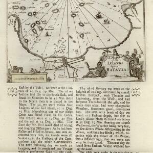
This early 19th century map is from a book titled ‘Mr. John Nieuhoff's Voyages’ in which the author reports on his travels to Southeast Asia, including a detailed description of the important port city of Batavia, as shown on the map.

close

  • Filter from 1704 to 1880

Current results range from 1704 to 1880