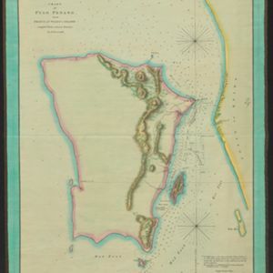
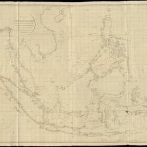
Search
Refine your results
- check_box[remove]Leiden University Libraries29
- Filter from 1714 to 1839
Current results range from 1714 to 1839
Location
- check_box_outline_blankIndonesia25
- check_box_outline_blankMalaysia19
- check_box_outline_blankSingapore17
- check_box_outline_blankBrunei12
- check_box_outline_blankCambodia12
- check_box_outline_blankEast Timor12
- check_box_outline_blankLaos12
- check_box_outline_blankMyanmar12
- check_box_outline_blankPhilippines12
- check_box_outline_blankSoutheast Asia12
- check_box_outline_blankThailand12
- check_box_outline_blankVietnam12
- more Simple Location »
- check_box_outline_blankJava20
- check_box_outline_blankMalay Peninsula18
- check_box_outline_blankSumatra15
- check_box_outline_blankBorneo12
- check_box_outline_blankCelebes11
- check_box_outline_blankSulawesi11
- check_box_outline_blankSiam10
- check_box_outline_blankSouth China Sea10
- check_box_outline_blankCochin China7
- check_box_outline_blankMaluku Islands7
- check_box_outline_blankSunda Islands7
- check_box_outline_blankAva6
- more Detailed Location »
Land Use
Land and Sea Routes
Cultural and Political Regions
Environmental Features
Insets and Attributes
Map Production Details
- check_box_outline_blankArrowsmith, Aaron4
- check_box_outline_blankRoss, Daniel4
- check_box_outline_blankWalker, John4
- check_box_outline_blankAnville, Jean-Baptiste Bourguignon d'2
- check_box_outline_blankBateman, John2
- check_box_outline_blankHorsfield, Dr. Thomas2
- check_box_outline_blankHulsbergh, H.2
- check_box_outline_blankKeulen, Gerard van2
- more Map Maker »
- check_box_outline_blankA. Arrowsmith4
- check_box_outline_blankJames Horsburgh4
- check_box_outline_blankRobert Sayer4
- check_box_outline_blankRichard Holmes Laurie3
- check_box_outline_blankBlack, Parbury & Allen2
- check_box_outline_blankButton and Gale2
- check_box_outline_blankJ.W. Norie & Co.2
- check_box_outline_blankJohn Cary2
- more Printer/Publisher »
- check_box[remove]London29


