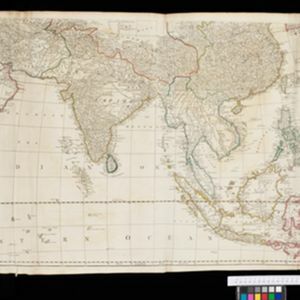
Asia: according to the Sieur D'Anville, divided into its Empires, Kingdoms & States
1772
-
The cartouche on this map of Asia features an Asian man smoking a long pipe, surrounded by packages, vases, a bow and arrow, a censer (incense burner) and a camel carrying a large load. The lower half of the map—featuring Southeast Asia—is missing.