Search

Search Results

Atlas van Nederlandsch Oost-Indië

eventc.1897-1904

location_onIndonesia

Very detailed atlas of the entire Dutch East Indies, over 16 map sheets, with a cover and overview map. Includes topographic maps, inset maps of cities and islands, and maps featuring land and sea routes, languages, geology, colonial territory etc.

Lombok

event1895

location_onIndonesia

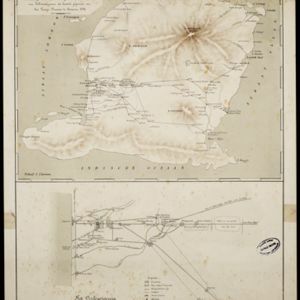
Two maps of Lombok (Lesser Sunda Islands) from the time of the Dutch intervention which led to the colonisation of the island. Both maps focus on roads: the first covers the whole island; the second focuses on the capital city of Mataram.

Plattegrond der stad Soerabaija

event1867

location_onIndonesia

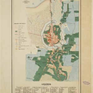
A mid-19th century map of the city of Soerabaija (Surabaya, East Java, Indonesia) showing its recently built defences, including the ‘Citadel Prins Hendrik’ fort and a walled moat. Outside the city are villages, plantations and fields.

close

  • Filter from 1867 to 1897

Current results range from 1867 to 1897