Search

Search Results

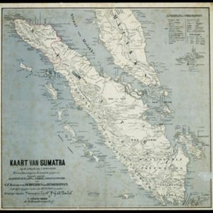
Kaart van het eiland Sumatra

event1880

location_onMalaysia, Indonesia, Singapore

The use of hachures—short lines/dashes that give a sense of the shape and steepness of terrain—highlight the mountain ranges along the west coast of this map of Sumatra. Many rivers flow east from the mountains to the Malacca Strait.

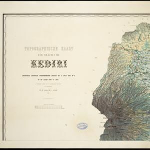
Topographische kaart der residentie Kediri

event1879

location_onIndonesia

Four-sheet topographic map of the residency of Kediri (East Java), divided into regencies (pink borders) and districts (yellow borders). Mountains, forests, settlements, routes and crops—sugarcane, alang-alang, rice, coffee, sugar, nutmeg—are shown.
Kaart van Groot-Atjeh

event1878

location_onIndonesia

This map of Groot-Atjeh (Aceh, northern Sumatra) focuses on the area in and around the city of Kota Radja (Banda Aceh) during the Aceh War. It shows current and former Dutch military fortifications, inhabited and abandoned villages, and rice paddies.

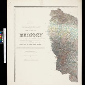
Topographische kaart der residentie Madioen

event1878

location_onIndonesia

Four-sheet topographic map of the mountainous residency of Madioen (Madiun, East Java), divided into regencies (pink borders) and districts (yellow borders). Crops—sugarcane, alang-alang, rice, coffee—sugar factories and coffee warehouses are shown.
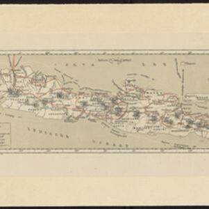
Kaart van Java

event1878

location_onIndonesia

Map of Java divided into administrative areas (‘residencies’). Telegraph lines, railways (including those under construction) and postal routes are marked. Around the coasts, the routes of steamships are shown, with journey distances in miles.

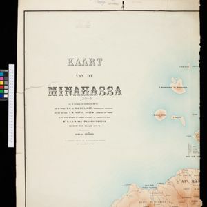
Kaart van de Minahassa

event1878

location_onIndonesia

Map of the Minahasa Peninsula, Celebes (Sulawesi) divided into administrative regions, and spread over four sheets. A table lists significant places, with their latitude, longitude and height above sea level.

Topographische kaart der residentie Madioen

event1878

location_onIndonesia

Four-sheet topographic map of the mountainous residency of Madioen (Madiun, East Java), divided into regencies (pink borders) and districts (yellow borders). Crops—sugarcane, alang-alang, rice, coffee—sugar factories and coffee warehouses are shown.

Kaart van Java

event1878

location_onIndonesia

Map of Java divided into administrative areas (‘residencies’). Telegraph lines, railways (including those under construction) and postal routes are marked. Around the coasts, the routes of steamships are shown, with journey distances in miles.

Topographische kaart der residentie Krawang

event1877

location_onIndonesia

The residency of Krawang (Karawang), West Java, featuring plantations (coffee, coconut, cinnamon, nutmeg, sugar); crops (rice, alang-alang, bamboo); post offices, routes (road, postal, canals), administrative borders; mountains, rivers, forests.

Topographische kaart der residentie Cheribon

event1877

location_onIndonesia

Six-sheet topographic map of the residency of Cheribon (Cirebon, West Java), with an inset of a geodesic triangle grid. Administrative districts, crops—rice, alang-alang, sugarcane, sugar, coffee, tea—and indigo plant mills are shown.

Kaart van Sumatra

event1872

location_onIndonesia, Malaysia

A map of the administrative divisions of Sumatra and the Malay Peninsula. The mountains of western Sumatra and the central Malay Peninsula are represented by hachures: short lines/dashes that give a sense of the shape and steepness of terrain.

Topographische kaart der residentie Semarang

eventc.1869-1871

location_onIndonesia

The residency of Semarang, Central Java, featuring crops (coffee, rice, bamboo, nipa palm); warehouses, cemeteries, post offices; routes, administrative borders; mountains, rivers, forests. An inset map shows updated details of the Kendal district.

close