Search Results

Nederlandsch Oost-Indië
1865
Brunei, Cambodia, East Timor, Indonesia, Laos, Malaysia, Myanmar, Vietnam, Thailand, Southeast Asia, Singapore, Philippines, Papua New Guinea
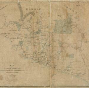
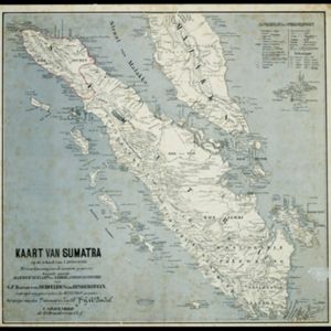
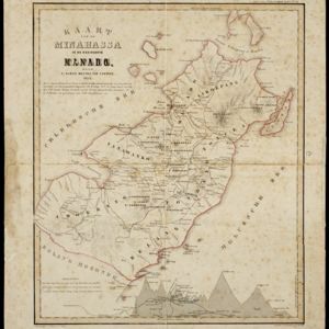
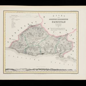
This detailed map of the Dutch East Indies in the mid-19th century contains a great deal of information: topographical details, settlements and administrative areas, roads, railways and maritime routes, telegraph lines, inset maps etc.
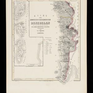
Kaart van de Adsistent Residentie Benkoelen en van de Eilanden Bewesten Sumatra
1860
Indonesia
Map of part of the Dutch colonial administrative region (assistant residency) of Benkoelen (Bengkulu, Sumatra), with an inset map of the Mentawai Islands. (From ‘Algemeene Atlas van Nederlandsche Indie [General Atlas of the Dutch East Indies]’.)
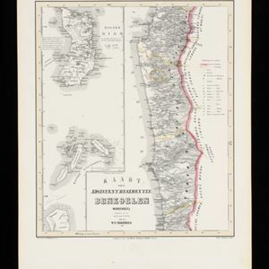
Kaart van de Adsistent Residentie Benkoelen: Middendeel
1860
Indonesia
Map of part of the Dutch colonial administrative region (assistant residency) of Benkoelen (Bengkulu, Sumatra). Inset map of Nias Island and the Batu Islands. (From ‘Algemeene Atlas van Nederlandsche Indie [General Atlas of the Dutch East Indies]’.)
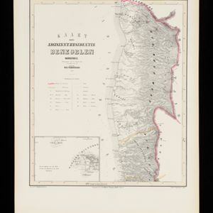
Kaart van de Adsistent Residentie Benkoelen: Noorderdeel
1860
Indonesia
Map of part of the Dutch colonial administrative region (assistant residency) of Benkoelen (Bengkulu, Sumatra). There is an inset map of the Banyak Islands. (From ‘Algemeene Atlas van Nederlandsche Indie [General Atlas of the Dutch East Indies]’.)
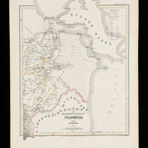
Kaart van de Oosterhelft der Residentie Palembang
1860
Indonesia
Map of the eastern half of the Dutch colonial administrative region (residency) of Palembang, Sumatra. A fort is marked in the town of Batoeradja. (From ‘Algemeene Atlas van Nederlandsche Indie [General Atlas of the Dutch East Indies]’.)
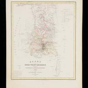
Kaart van Zuid West Celebes, bevattende de Gouvernements en Bondgenootschappelijke Landen van het Gouvernement Celebes
1860
Indonesia
Map of the South Peninsula of Celebes (Sulawesi). The Spermonde Archipelago in the Makassar Strait is very detailed with islands, shoals, reefs and bathymetry. (From ‘Algemeene Atlas van Nederlandsche Indie [General Atlas of the Dutch East Indies]’.)

Kaart van de Oosterhelft der Residentie Timor
1860
Indonesia
Map of the eastern half of the Dutch colonial administrative region (residency) of Timor, with an inset map of its capital city and port Timorkoepang (Kupang). (From ‘Algemeene Atlas van Nederlandsche Indie [General Atlas of the Dutch East Indies]’.)


