Search

Search Results

Atlas van Nederlandsch Oost-Indië

eventc.1897-1904

location_onIndonesia

Very detailed atlas of the entire Dutch East Indies, over 16 map sheets, with a cover and overview map. Includes topographic maps, inset maps of cities and islands, and maps featuring land and sea routes, languages, geology, colonial territory etc.

Riouw-archipel: Reede Riouw

event1895

location_onIndonesia

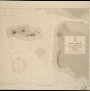
Navigation map of the Riau Roadstead (off west coast of Bintan, Riau Archipelago): a body of water sheltered from tides/currents, for ships to anchor. Bathymetry (sea depth) and various obstructions and landmarks (hills, buildings, trees) are shown.

Kaart van het Westelijk gedeelte bezet in Groot-Atjèh

event1895

location_onIndonesia

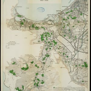
This map of Groot-Atjèh (Aceh, northern Sumatra) focuses on the western part occupied during the Aceh War. It shows mountains, wetlands, forests, villages, routes and crops (rice, coconut, banana, sugar, sugarcane, bamboo, alang-alang, betel).

close

  • Filter from 1895 to 1897

Current results range from 1895 to 1897