Search

Search Results

New sketch map of the protected Malay State of Perak

event1892

location_onMalaysia

Map of state of Perak (Malay Peninsula) with a table of statistics: area, population, road/railway/river lengths, revenue, tin exports. Straits Settlements highlighted red. Someone has added handwritten travel times/distances by steamer/road/train.

New Sketch Map of the Protected Malay State of Perak

event1892

location_onMalaysia

Map of the state of Perak (Malay Peninsula) with a table of statistics: area, population, road/railway/river lengths, revenue, tin exports. Gold and tin mines are marked, and the Straits Settlements are highlighted in red.

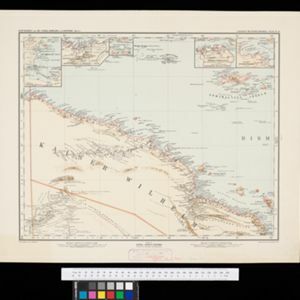
Schutzgebiet der Neu-Guinea-Kompanie

eventc.1892-1893

location_onIndonesia, Papua New Guinea

Very detailed six-sheet map of eastern New Guinea, with numerous inset maps of bays and islands, and other inset maps covering ethnography, explorers of the region, marine routes across the Pacific Ocean, cannibalism, missionaries activity etc.

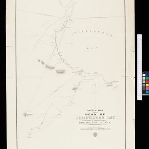
Sketch map of the head of Collingwood Bay

event1892

location_onPapua New Guinea

Map of Collingwood Bay, north coast of New Guinea, with bearings to mountains, bathymetry (sea depth), shoals and reefs. On land, notes on terrain (‘sloping plains’, ‘Stiff clay soil’), vegetation (‘Casuarina trees’) and people (‘FRIENDLY TRIBE’).

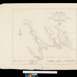
Sketch map shewing the rivers and an outline of the coast... Gulf of Papua, British New Guinea

event1892

location_onPapua New Guinea

Map of part of the west coast of the Gulf of Papua, with islands, river mouths, shoals, bathymetry (water depth), notes to aid navigation. On land, notes on terrain (‘Limestone Hill’), vegetation (‘Pandanus & Nipa Palms’) and people (‘Paia Tribe’).

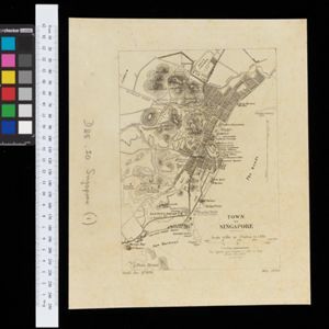
Town of Singapore

event1892

location_onSingapore

Plan of Singapore town, including Tanjong Pagar docks, the central civic/business area around the Singapore River, and residential areas. A roadstead—a body of water sheltered from tides/currents, for ships to anchor—is labelled ‘The Roads’.

Kaart van een gedeelte van Borneo: met aanwijzing van de grens tusschen het Nederlandsch gebied en dat van het Britsche Protectoraat

event1891

location_onIndonesia, Malaysia

Map marking the border (in orange) agreed between British and Dutch territory on Borneo in 1891. Alternative borders are shown: according to the Dutch (blue), according to the British North Borneo Society (yellow) and proposed by the British (green).

Kaiser Wilhelms Land, Bismarck Archipel und Salomon Inseln

event1891

location_onPapua New Guinea

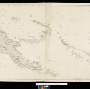
Navigation map of Kaiser-Wilhelmsland, in German New Guinea. It features bathymetry (sea depth), reefs and shoals, lighthouses (coloured red and yellow) and landmark mountains. A boundary divides German and British colonial territories on New Guinea.

Map of part of Moratau (Fergusson Island) and Duau (Normanby Island): British New Guinea

event1891

location_onPapua New Guinea

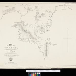
Map of parts of Fergusson and Normanby islands (east coast of New Guinea). Bathymetry (sea depth), reefs and shoals are marked, along with landmarks (mountains, villages, trees). Territories of two indigenous tribes—the Subia and Manayaya—are shown.

Stanford's Library Map of Asia

event1891

location_onBrunei, Cambodia, East Timor, Indonesia, Laos, Malaysia, Myanmar, Philippines, Singapore, Southeast Asia, Thailand, Vietnam

Southeast Asia is on sheet four of this map. British colonial territory—British Burma, the Straits Settlements, Sarawak, British North Borneo—is highlighted in red, with the Dutch East Indies, Spanish Philippines and Portuguese East Timor also shown.

Kaart der Bataklanden en van het eiland Nijas

event1890

location_onIndonesia

A large-scale map of northern Sumatra, spread over 16 sheets, and divided into administrative regions. The island of Nijas (Nias) is marked with the locations of local tribes, and there is a list of other maps referenced in producing the map.

Map of the Fly River, British New Guinea, as traversed by Sir William MacGregor and party

event1890

location_onPapua New Guinea

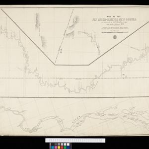
Three maps on one sheet of the Fly River in British New Guinea, from the mouth to where it meets the Palmer River. Bathymetry (water depth) and sandbanks are marked at the mouth and landmarks—hills, vegetation, villages—are noted along the length.

close

  • Filter from 1630 to 1899

Current results range from 1630 to 1899