Search Results
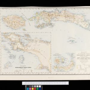
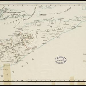
Kaart van 't noordwestelijke gedeelte der Residentie Ambon
1898
Indonesia
Map of the residency of Ambon in the Maluku Islands, divided by colour-coded administrative borders. There are inset maps the Banda Islands—including the nutmeg plantations and the town of Neira with its fort and hospital—and of Dutch New Guinea.

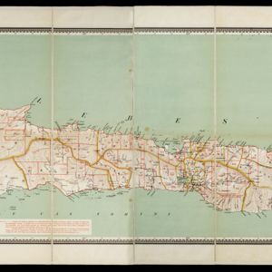
Map of the Island of Singapore and its dependencies
1898
Singapore
Map of Singapore Island, divided into Districts, including the surrounding islands and straits. The city centre, roads and forests are marked. MacRitchie Reservoir is at the centre of the island, with coconut plantations along the east coast.

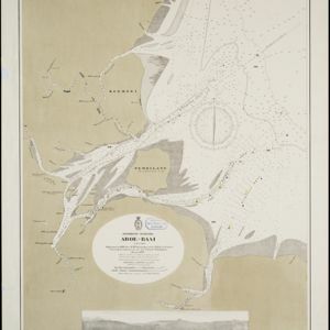
Noordkust Java: Westervaarwater van Soerabaja
1898
Indonesia
This map of the Madura Strait between Java and Madura is designed to aid navigation: bathymetry (water depth), lighthouses, shoals and reefs, rocks and mud, anchor points, and landmark mountains are all marked. Text describes the tidal conditions.
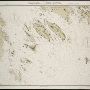
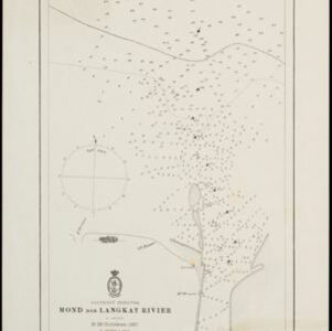
Riouw archipel: Straat Doerian en oostelijke vaarwaters
1898
Indonesia
Navigation map of the waters and straits around some of the islands of the Riau Archipelago, between Sumatra and Batam. Bathymetry (sea depth), current and tide data, reefs, shoals and other obstructions (clay, mud, shells, stones, sand) are marked.
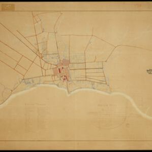
Situatie plan van Batavia met desselfs stranden en ommelanden tot de buiten posten Angiol, Noortwijk, Rijswijk, de Kelling , Ankee en de Fluit
1898
Indonesia
Plan of the city of Batavia (Jakarta) with its suburbs and surrounding areas. Artillery batteries are marked on the beaches, and there is a detailed legend identifying places on the map. This is a copy of an original 1797 map.
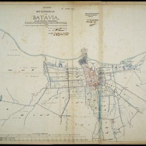
Situatieplan van Batavia desselfs stranden en ommelanden
1898
Indonesia
Plan of the city of Batavia (Jakarta), its suburbs and surrounding areas, focussing on the river and canal system. This is a copy of an original c.1790 map. The pier has been pencilled in, as it was not built when the original map was produced.
- Filter from 1565 to 1900
- Dutch267
- English201
- French193
- Latin132
- German49
- Italian20
- Spanish5
- Portuguese1
- more Language »
- Indonesia697
- Malaysia467
- Singapore406
- Thailand390
- Vietnam383
- Brunei377
- Cambodia377
- Philippines367
- Myanmar354
- Laos333
- East Timor326
- Southeast Asia305
- more Simple Location »
- Port110
- Pier34
- Railway Station5
- River549
- Road119
- Path45
- Telegraph/Telephone23
- Postal Route22
- Railway/Tramway19
- Canal18
- Bridge13

