Search

Search Results

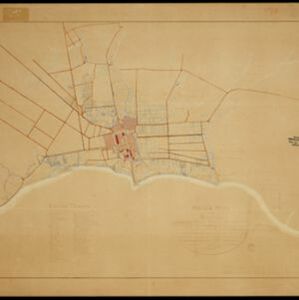
Situatie plan van Batavia met desselfs stranden en ommelanden tot de buiten posten Angiol, Noortwijk, Rijswijk, de Kelling , Ankee en de Fluit

event1898

location_onIndonesia

Plan of the city of Batavia (Jakarta) with its suburbs and surrounding areas. Artillery batteries are marked on the beaches, and there is a detailed legend identifying places on the map. This is a copy of an original 1797 map.

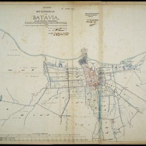
Situatieplan van Batavia desselfs stranden en ommelanden

event1898

location_onIndonesia

Plan of the city of Batavia (Jakarta), its suburbs and surrounding areas, focussing on the river and canal system. This is a copy of an original c.1790 map. The pier has been pencilled in, as it was not built when the original map was produced.

Atlas van Nederlandsch Oost-Indië

eventc.1897-1904

location_onIndonesia

Very detailed atlas of the entire Dutch East Indies, over 16 map sheets, with a cover and overview map. Includes topographic maps, inset maps of cities and islands, and maps featuring land and sea routes, languages, geology, colonial territory etc.

Singapore: Plan of harbour and roadstead

event1885

location_onSingapore

Plan of Singapore harbour, with wharfs and buildings. A roadstead—a body of water sheltered from tides/currents, for ships to anchor—is labelled ‘Singapore Road’. Islands, shoals and reefs are marked, as are roads and buildings in the city.

close

  • Filter from 1885 to 1898

Current results range from 1885 to 1898