Search

Search Results

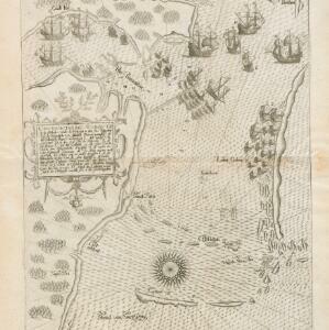
Contrafactur des Scharmutz els der Hollander wider die Portigesen in dem Flus Batusabar

event1607

location_onSingapore

Maps can sometimes record a single event: this map depicts an October 1603 battle between the Dutch and Portuguese, as they fought for control of the trade routes through the Singapore Straits. The text panel recounts the story of the battle.

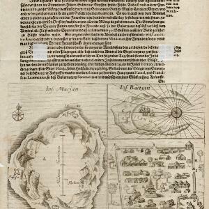
Ins: Macjan, Ins: Bactjan

eventc.1631-1657

location_onIndonesia

These pages are probably from ‘Newe Welt und Americanische Historien’ by Johann Gottfried. There are maps of Pulau Makian (‘Ins. Macjan’) and Pulau Bacan (Ins. Bacjan) in the Maluku Islands, and a plan of a fort on Makian.

Mar di India

event1644

location_onBrunei, Cambodia, East Timor, Indonesia, Laos, Malaysia, Myanmar, Philippines, Singapore, Southeast Asia, Thailand, Vietnam

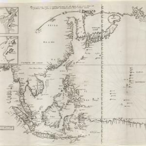
This mid-17th century map of Southeast Asia is from Isaac Commelin’s book describing the voyages of the Dutch East India Company ‘Begin ende voortgangh…’. There is an inset map of the island of Botton (Buton Island, southeast of Celebes (Sulawesi)).

[Map of the East Indies]

event1666

location_onVietnam, Myanmar, Papua New Guinea, Philippines, Singapore, Southeast Asia, Thailand, Malaysia, Laos, Indonesia, East Timor, Cambodia, Brunei

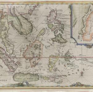
This mid-17th century map of Southeast Asia has a maritime focus, with shoals and reefs, and the coastal areas marked in great detail, while the interiors remain mostly blank. The Great Wall of China can be seen at the top of the map.

Insvlarvm Bandanensivm: novißima delineatio

eventc.1680-1709

location_onIndonesia

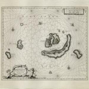
A navigation map of the Banda Islands marked with bathymetry (sea depth), shoals and anchor points. On the island of Goenonghapy (Banda Api), a volcano erupts (‘api’ means ‘fire’ in Indonesian), and there is a military fort (‘Campa Nga’) on Nera.

Le Détroit de Malacca: dressé sur les memoires des plus savans Voyageurs modernes

eventc.1700-1799

location_onMalaysia, Indonesia, Singapore

This 18th century map was designed to aid navigation through the Strait of Malacca between Sumatra and the Malay Peninsula. Shoals, reefs and islands are marked, and the numbers printed on the strait record sea depth (bathymetry).

A mapp of the islands before Batavia

event1704

location_onIndonesia

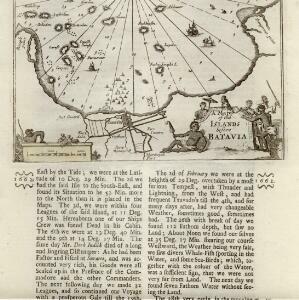
This early 19th century map is from a book titled ‘Mr. John Nieuhoff's Voyages’ in which the author reports on his travels to Southeast Asia, including a detailed description of the important port city of Batavia, as shown on the map.

A large draught of the east end of Java and Madura shewing the Streights of Bally

event1711

location_onIndonesia

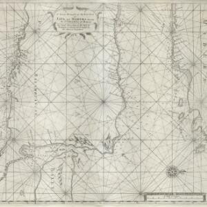
This early 18th century maritime map charts the waters between the islands of Java, Madura and Bally (Bali). The web of lines is a rhumbline network, while the numbers indicate sea depth (bathymetry), both used to aid navigation.

A new and correct chart of part of the island of Java from the west end to Batavia with the Streights of Sunda

event1711

location_onIndonesia

This early 18th century maritime map charts the waters of the Straits of Sunda, between the islands of Java and Sumatra. The web of lines is a rhumbline network, while the numbers indicate sea depth (bathymetry), both used to aid navigation.

Kaart van het Eyland Bali

event1726

location_onIndonesia

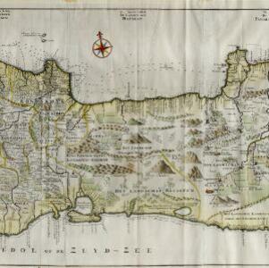
On this map of Bali (and parts of Java and Lombok), mountains, trees, fields and settlements are shown pictorially. The coasts are marked with shoals (dots), reefs (crosses), bathymetry (sea depth, in figures) and anchor points (anchor symbols).

Insulae Iavae pars Occidentalis

event1728

location_onIndonesia

A map of Java with mountains, jungles, animals and crops. Bathymetry (sea depth) is marked, including on an inset map of Batavia harbour. Illustrations include Batavia Castle, and a lion—representing Belgium—receiving tribute and enslaving locals.

Nieuwe en zeer naaukeurige kaart van t eyland Java Major of Groot Java: verdeeld in seven byzondere bestekken

event1728

location_onIndonesia

On this beautifully illustrated and coloured map of Java, mountains, trees, fields of crops and settlements are shown pictorially. The coasts are marked with shoals, reefs, bathymetry (sea depth, in figures) and anchor points.

close

  • Filter from 1607 to 1894

Current results range from 1607 to 1894