A new chart of the north coast of Java: wherein are described the roads of Bantam and Batavia event1794 location_onIndonesia
A new chart of the straits of Sunda: From the manuscript of the Dutch East India Company event1794 location_onIndonesia
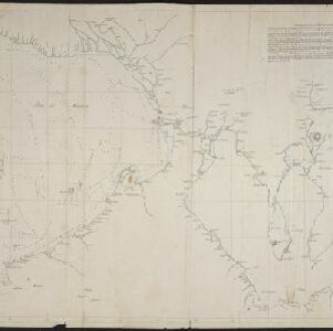
A new chart shewing the navigation through the Strait of Sunda to Batavia event1815 location_onIndonesia
A new chart shewing the navigation through the Strait of Sunda to Batavia event1815 location_onIndonesia
Reduzirte Karte vom Chinesischen Meere: 1stes oder Südliches Blatt event1835 location_onBrunei, Cambodia, Indonesia, Malaysia, Singapore, Thailand