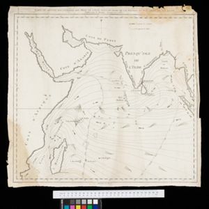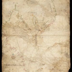
[Portolan chart of the South China Sea]
1679
Malaysia, Brunei, Cambodia, Thailand, Vietnam
A brightly-coloured hand-drawn map of the South China Sea. The compass is at the centre of a rhumbline network, a web of lines to aid navigation. Bathymetry (sea depth), islands, anchor points, shoals and reefs are also marked.