
Search Results
111 Results found


Topographische kaart van het eiland Billiton: vluchtig opgenomen in de jaren 1877-1878
1894
Indonesia
This map of the island of Billiton (Belitung, Indonesia) features mountains, rivers, railways, roads, settlements, coconut plantations and administrative borders. An inset map shows the island’s port and capital city Tanjung Pandan.

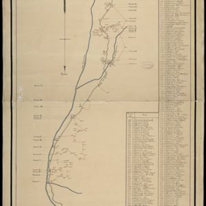
Topographische kaart van de residentie Preanger regentschappen
1894
Indonesia
The residency of Preanger (Parahyangan), West Java, with plantations (coconut, coffee, tea, cinchona (‘kina’), betel, teakwood, bamboo) and crops (rice, sugarcane, alang-alang). Two inset maps: a triangulation map, and a map of land route distances.


Map of Singapore showing the principal residences and places of interest
1892
Singapore
Map of the city of Singapore, including the central civic/business area around the Singapore River, Fort Canning, Tanjong Pagar dock, and residential areas. The city is surrounded by villages and plantations (pineapple, fruit and vegetable, coconut).

Topographische kaart der residentie Djokjakarta
1892
Indonesia
The residency of Djokjakarta (Yogyakarta), southern Java, featuring crops (coffee, sugar, rice, alang-alang, tobacco, indigo plants, nipa palm, bamboo); warehouses, cemeteries, post offices; routes, administrative borders; mountains, rivers.

Topographische Kaart der residentie Pekalongan
1892
Indonesia
Topographic map of the residency of Pekalongan (Central Java), divided into regencies (pink borders) and districts (yellow borders). Mountains, forests, settlements, routes, crops—alang-alang, coffee, sugar, rice—factories and warehouses are shown.

- [remove]Cemetery/Columbarium111
- Kampong/Village77
- Residential Area67
- Church54
- Military Fort54
- Hospital47
- Public Space37
- Military Barracks35
- Post Office31
- Temple31
- Mosque30
- Well22
- Jail/Prison21
- Court of Law20
- more Settlement Features »


