Search

Search Results

Kaart van het Zuidwestelijk gedeelte van het landschap Mampawah, residentie Wester-afdeeling van Borneo

event1887

location_onIndonesia

Map of the crops—coconut, alang-alang, rice, nipa palm, bamboo—grown along the Mempawah River (west coast of Borneo). There are also large areas of swampy forest, Malay mosques, shrines and graveyards, and Chinese villages, temples and graveyards.

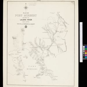
Plan of Port Moresby and the road to the Lolokie River: New Giunea

event1887

location_onPapua New Guinea

This map focuses on the capital city of British New Guinea, Port Moresby, and the road heading north-east from the city to the Laloki River. Along the road, there are descriptions of the terrain (‘Open flat fairly grasses timbered with bastard Gum’).

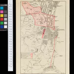
The town of Singapore

eventc.1887-1888

location_onSingapore

Plan of Singapore town, including Tanjong Pagar docks, the central civic/business area around the Singapore River, and residential areas. The Government House area (now known as The Istana), and areas of Chinese theatres, are highlighted.

Topographische kaart der residentie Madoera

eventc.1885-1887

location_onIndonesia

Three-sheet topographic map of the residency of Madoera (Madura, East Java), with an inset map of distances between locations. Administrative districts, crops—bamboo, sugarcane, alang-alang, rice, coconut, betel—salt pans and fishing ponds are shown.

Kaart van den vierkanten paal gouvernements grondgebied te Ngabang

event1888

location_onIndonesia

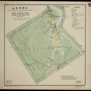
Map of the town of Ngabang, on the Landak River, Borneo and the surrounding forest and mountains. Around the town are cemeteries, a well, a jail and a Chinese temple. Bamboo, coconut trees, fishing ponds and fields (including alang-alang) are marked.

Kaart van den vierkanten paal (I en II) gouvernements grondgebied te Sintang

event1888

location_onIndonesia

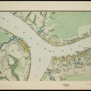
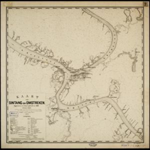
The Kapoewas (Kapuas) and Melawi rivers converge on this map of the town of Sintang, Borneo. The town lines the river banks, and is surrounded by fields, forest and marshland. Arrows on the rivers mark the direction of their flow.

Kaart van Sintang en omstreken

event1888

location_onIndonesia

The Kapoewas (Kapuas) and Melawi rivers converge on this map of the town of Sintang, Borneo. The town lines the river banks, surrounded by forest, wetlands, fields, bamboo, and coconut trees. Arrows on the rivers mark the direction of their flow.

Topographische kaart der residentie Besoeki

event1888

location_onIndonesia

The residency of Besoeki (Besuki), East Java, featuring crops (rice, alang-alang, bamboo, coconut); fishing ponds; factories, warehouses, businesses; routes, administrative borders; churches, cemeteries, forts, lighthouses; mountains, rivers, lakes.

Oudheidkundige kaart van Oost-Java tot aan de vorstenlanden

event1889

location_onIndonesia

This map of eastern Java uses red symbols to mark the locations of antiquarian sites, including tjandis (Hindu tombs), walls, terraces, fortifications, temples, wells, statues and cemeteries. Rivers, roads and railways are also shown.

Sumatra

event1889

location_onIndonesia

Map of the city of Padang on the west coast of Sumatra, with inset maps of the nearby islands, featuring residential, business, government and military areas. There are also agricultural areas with coconut, nutmeg, bamboo, nipa palm and sago palm.

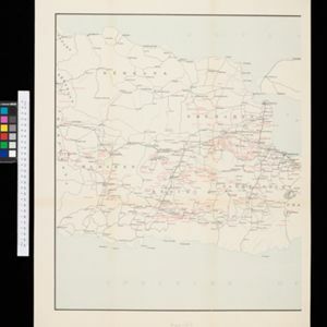
Oudheidkundige Kaart van West en Midden Java

event1890

location_onIndonesia

This map of western and central Java uses red symbols to mark the locations of antiquarian sites, including tjandis (Hindu tombs), walls, terraces, fortifications, temples, wells, statues and cemeteries. Rivers, roads and railways are also shown.

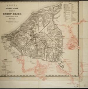
Kaart van het gebied bezet in Groot-Atjeh

event1891

location_onIndonesia

A map of Groot-Atjceh and the city of Kota Radja (modern Banda Aceh) at the northern tip of Sumatra, detailing routes (rivers, roads, railways), crops (rice, banana, sugarcane, betel, reed, alang-alang, bamboo) and land features (forests, wetlands).

close