Search Results
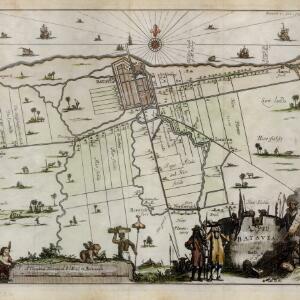
A mapp of Batavia with all itts forts
1704
Indonesia
This early 18th century map of Batavia (Jakarta) shows an important port city, with military forts, a long pier, and many ships at sea. However, the map also shows a city surrounded by fields and plantations, for producing crops and grazing animals.

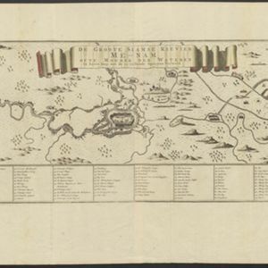
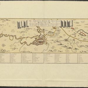
De Groote Siamse Rievier Me-Nam, ofte Moeder der Wateren: In haren loop met de in vallende Spruyten Verbeeld
1726
Thailand
Map of the Me-nam River (Chao Phraya River) with the city of Ayutthaya (labelled ‘Siri India’) in the centre. Its mouth at the Gulf of Thailand is to the left. Over 100 buildings, towns and other places are shown pictorially and listed in the legend.
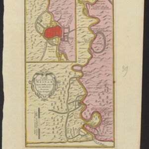
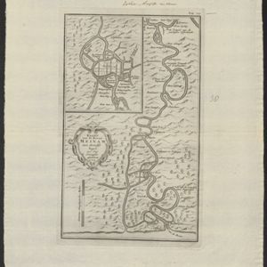
Carte du cours de la Riviere de Meinam: depuis Judia jusqu'à son embouchure
1730
Thailand
Map of the Meinam (Chao Phraya) river from the city of Judia (Ayutthaya) to its mouth near Bangkok. Features temples, villages, a Bishop's Palace, a fort at Bangkok, and a ‘Champ des Eléphans [Elephant Field]’. The text is in French and Dutch.
- Filter from 1631 to 1899
- [remove]Civic/Metropolitan Border74
- District/Administrative Border29
- Colonial Possessions12
- National Border1

