Search

Search Results

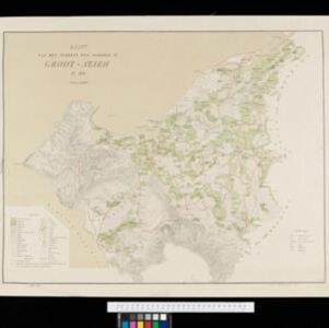
Kaart van het terrein des Oorlogs in Groot-Atjeh in 1876

event1883

location_onIndonesia

The Aceh War (1873–1904) between the Sultanate of Aceh and Dutch colonists is highlighted on this map of Groot-Atjeh in 1876. Flag symbols mark the locations of Dutch troops, while a red line records the route marched by ‘agitating troops’ in 1875-6.

Map of the Malay Peninsula

event1883

location_onMalaysia, Singapore

The Straits Settlements are in red, with the rest of the map marked with names of local peoples (‘Inhabited by the Johor Jakuns’) and resources (mines). Many areas are left blank or vague as unexplored or approximate. Inset map of Singapore city.

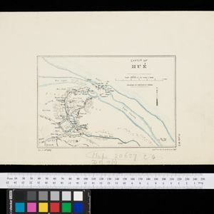
Sketch of Hué

event1885

location_onVietnam

Map of the city of Hué (Huế) on the Perfume River, east coast of Vietnam. There are forts, villages and rice fields along the river. In the city, there is the royal palace within walls and a moat, French military barracks and other colonial areas.

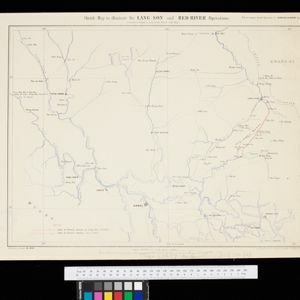
Sketch map to illustrate the Lang-son and Red River operations

event1886

location_onVietnam

Map of the French military advance on the city of Lang-Son in February 1885 during the Sino-French War, and the following month’s humiliating retreat which brought an end to the war, and triggered the collapse of the French government.

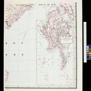
[Map of India]

event1887

location_onMyanmar

This four-sheet map of India—featuring an inset map of Burma (Myanmar) —was created for use in Indian schools by Devendranath Dhar, a self-taught Calcutta-based mapmaker. He sent it to the Royal Asiatic Society for advice on publication.

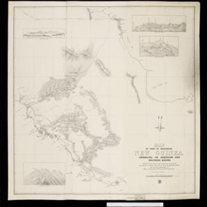
Map of part of south-east New Guinea embracing its northern and southern waters

event1889

location_onPapua New Guinea

This map focuses on the southern coast including the capital Port Moresby, with the northern regions left mostly blank. There are four inset drawings of side views of mountains (elevations), and the border with German New Guinea is marked.

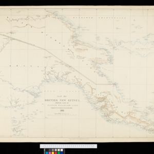
Map of British New Guinea shewing part of Kaiser Wilhelms-Land

event1890

location_onPapua New Guinea, Indonesia

Map of British New Guinea showing the boundary with Kaiser-Wilhelmsland (German New Guinea) as agreed on 6th April 1886. The boundary with Dutch New Guinea is also marked. Most detail is around the coast, with the interior left mainly blank.

Rough Sketch of 200 miles of the western portion of British New Guinea, including rivers

event1890

location_onPapua New Guinea

Map of British New Guinea with notes on the terrain (‘Low country’), vegetation (‘Mangrove, Nipa and Fan Palms’), crops (‘Small plantations Sugar cane & Taro’), coastal features (‘Coral and Sand flats) and people (‘Friendly tribe’, ‘Dariamo Tribe’).

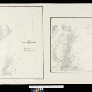
Map to illustrate Report on Frontier Expedition 1890-91

event1891

location_onMyanmar

Map of the border region between northeast Burma (Myanmar) and China's Yunnan Province, spread over two sheets. The Burma side is more detailed, featuring mountains, rivers and settlements, as well as roads and trade routes.

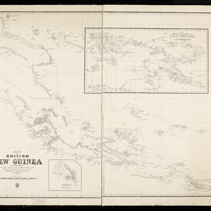
Map of British New Guinea

event1892

location_onPapua New Guinea, Indonesia

Map of British New Guinea, focusing on the sea (islands, shoals, reefs), coast (settlements, bays), mountains and land (‘dense forest’, ‘timbered with Eucalyptus’). Inset maps of Port Moresby, Samarai Island, and the whole island of New Guinea.

New sketch map of the protected Malay State of Perak

event1892

location_onMalaysia

Map of state of Perak (Malay Peninsula) with a table of statistics: area, population, road/railway/river lengths, revenue, tin exports. Straits Settlements highlighted red. Someone has added handwritten travel times/distances by steamer/road/train.

close